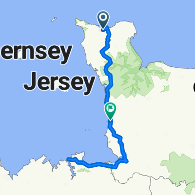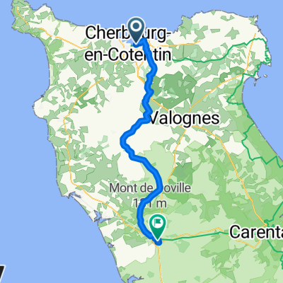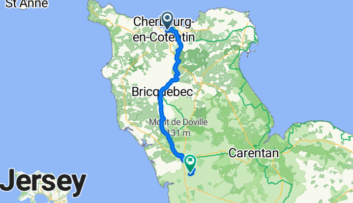

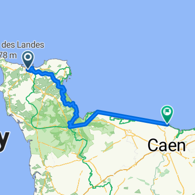
Dday cycling adventure
- 153.5 km
- 560 m
- 557 m
- Cherbourg, Normandy, France
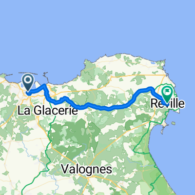
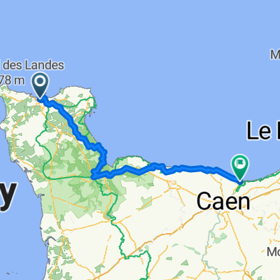
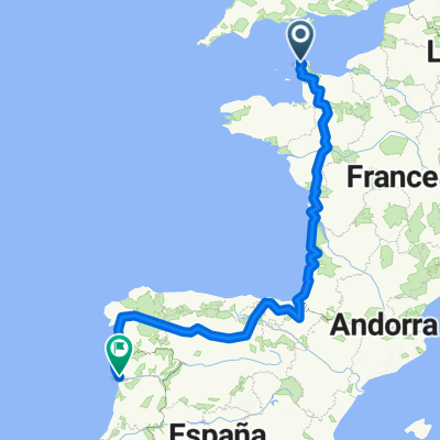
De Quai Jean de Béthencourt 108, Rouen à Rue Franchet d'Esperey 7, Brest
A cycling route starting in Cherbourg, Normandy, France.
Overview
created this 3 months ago
Part of
Route quality
Road
24.9 km
(41 %)
Quiet road
17 km
(28 %)
Paved
32.8 km
(54 %)
Unpaved
6.7 km
(11 %)
Asphalt
32.8 km
(54 %)
Gravel
6.1 km
(10 %)
Continue with Bikemap
You would like to ride Cherbourg-Octeville - Lessay or customize it for your own trip? Here is what you can do with this Bikemap route:
Free trial for 3 days, or one-time payment. More about Bikemap Premium.
Discover more Premium features.
Get Bikemap PremiumFrom our community
Open it in the app