
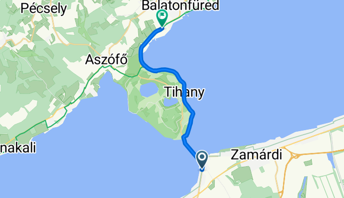
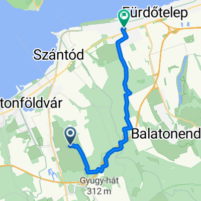
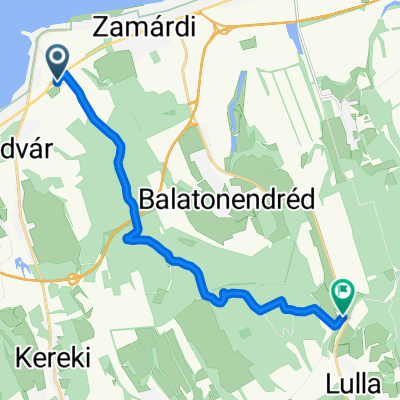
Útvonal ide: Széchenyi István utca
A cycling route starting in Balatonföldvár, Somogy County, Hungary.
Overview
About this route
- 1 h 49 min
- Duration
- 12.4 km
- Distance
- 133 m
- Ascent
- 179 m
- Descent
- 6.8 km/h
- Avg. speed
- 153 m
- Max. altitude

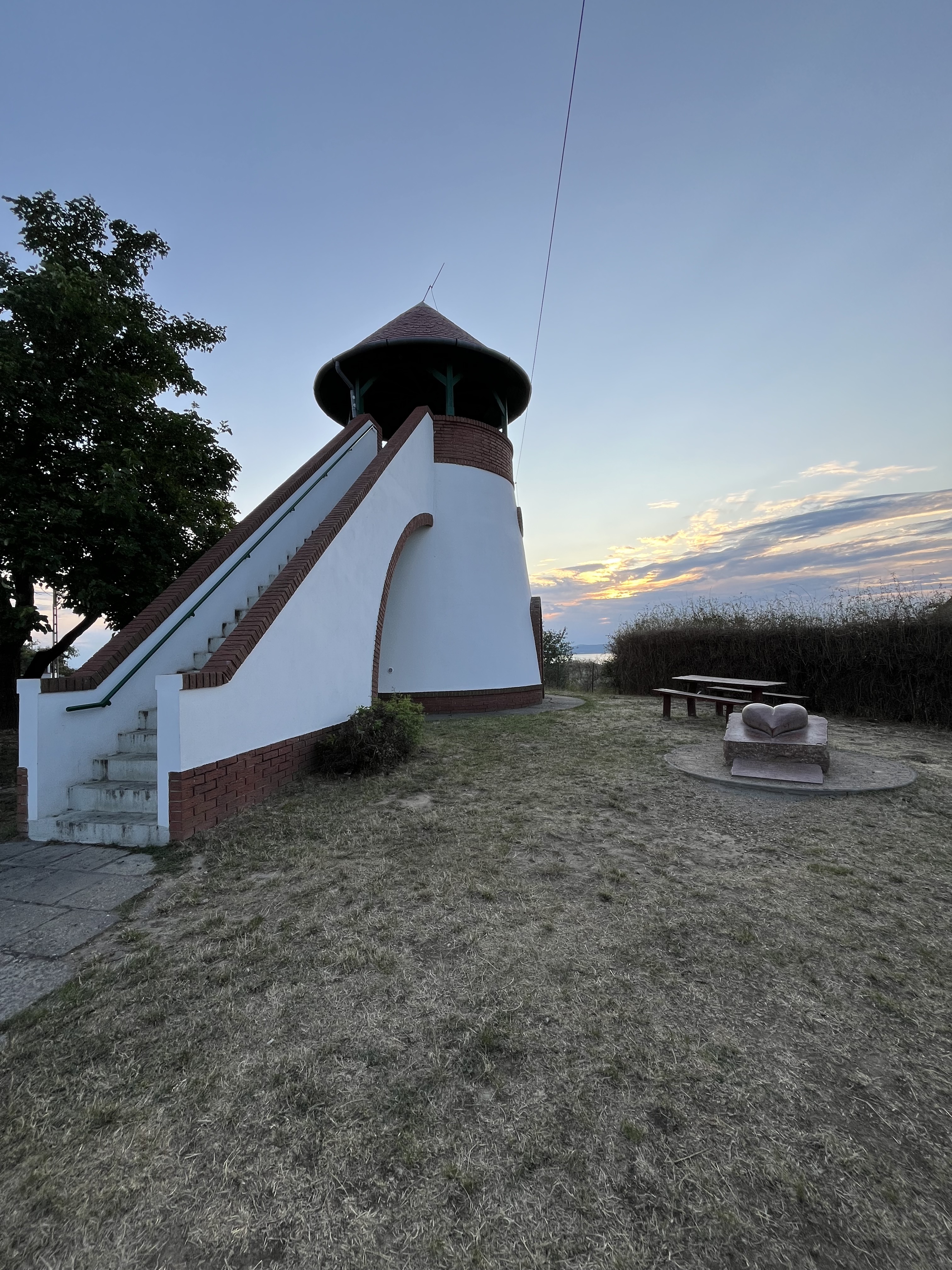
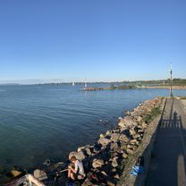
Route photos


Route quality
Waytypes & surfaces along the route
Waytypes
Cycleway
5 km
(40 %)
Quiet road
1.2 km
(10 %)
Surfaces
Paved
10.6 km
(86 %)
Asphalt
10.6 km
(86 %)
Undefined
1.7 km
(14 %)
Continue with Bikemap
Use, edit, or download this cycling route
You would like to ride Útvonal ide: Széchenyi István utca or customize it for your own trip? Here is what you can do with this Bikemap route:
Free features
- Save this route as favorite or in collections
- Copy & plan your own version of this route
- Sync your route with Garmin or Wahoo
Premium features
Free trial for 3 days, or one-time payment. More about Bikemap Premium.
- Navigate this route on iOS & Android
- Export a GPX / KML file of this route
- Create your custom printout (try it for free)
- Download this route for offline navigation
Discover more Premium features.
Get Bikemap PremiumFrom our community
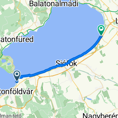
Other popular routes starting in Balatonföldvár
 46.864, 17.902 - 46.871, 17.933
- Distance
- 6.1 km
- Ascent
- 72 m
- Descent
- 3 m
- Location
- Balatonföldvár, Somogy County, Hungary
 Kőröshegyi utca, Balatonföldvár - Kőröshegyi utca, Balatonföldvár
- Distance
- 25.7 km
- Ascent
- 131 m
- Descent
- 130 m
- Location
- Balatonföldvár, Somogy County, Hungary
 Széchenyi Imre utca - Somogyi Béla utca
- Distance
- 41.7 km
- Ascent
- 752 m
- Descent
- 754 m
- Location
- Balatonföldvár, Somogy County, Hungary
 Ménes utca, Kőröshegy - Batthyány Lajos utca, Zamárdi
- Distance
- 11.4 km
- Ascent
- 201 m
- Descent
- 281 m
- Location
- Balatonföldvár, Somogy County, Hungary
 Gasztro route to Siófok 💪
- Distance
- 12.5 km
- Ascent
- 17 m
- Descent
- 18 m
- Location
- Balatonföldvár, Somogy County, Hungary
 Szántód-Jaba-puszta
- Distance
- 14 km
- Ascent
- 261 m
- Descent
- 233 m
- Location
- Balatonföldvár, Somogy County, Hungary
 Rege utca - Csók István sétány
- Distance
- 24.8 km
- Ascent
- 79 m
- Descent
- 83 m
- Location
- Balatonföldvár, Somogy County, Hungary
 Útvonal ide: Széchenyi István utca
- Distance
- 12.4 km
- Ascent
- 133 m
- Descent
- 179 m
- Location
- Balatonföldvár, Somogy County, Hungary
Open it in the app