weibersbrunn rothenbuch
- 26 km
- 558 m
- 560 m
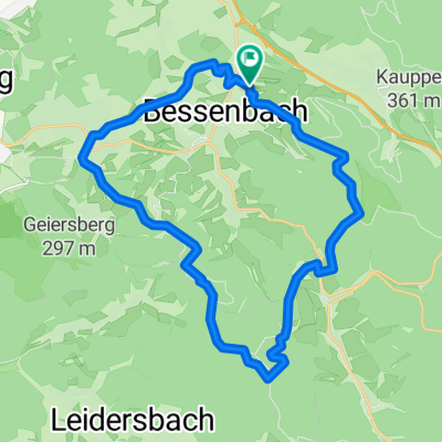
- Waldaschaff, Bavaria, Germany
A cycling route starting in Waldaschaff, Bavaria, Germany.
Overview
created this 13 years ago
Route quality
Track
16.2 km
(66 %)
Quiet road
3.9 km
(16 %)
Paved
7.8 km
(32 %)
Unpaved
13.7 km
(56 %)
Gravel
9.8 km
(40 %)
Asphalt
7.4 km
(30 %)
Continue with Bikemap
You would like to ride Keilberg - Hohe Warte or customize it for your own trip? Here is what you can do with this Bikemap route:
Free trial for 3 days, or one-time payment. More about Bikemap Premium.
Discover more Premium features.
Get Bikemap PremiumFrom our community
Open it in the app