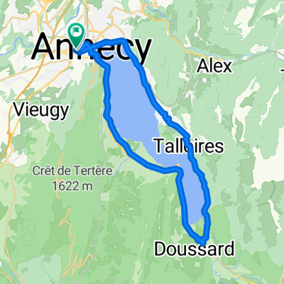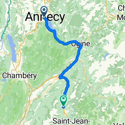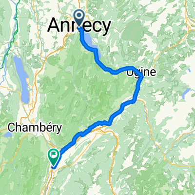
Annecy - Pontcharra
- 92.5 km
- 278 m
- 475 m
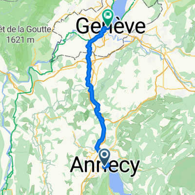
- Annecy, Auvergne-Rhône-Alpes, France
A cycling route starting in Annecy, Auvergne-Rhône-Alpes, France.
Overview
created this 3 months ago
Route quality
Quiet road
20.3 km
(42 %)
Road
13.5 km
(28 %)
Paved
29.9 km
(62 %)
Unpaved
3.9 km
(8 %)
Asphalt
29 km
(60 %)
Gravel
2.9 km
(6 %)
Continue with Bikemap
You would like to ride Quai Eustache Chappuis nach Boulevard Georges-Favon or customize it for your own trip? Here is what you can do with this Bikemap route:
Free trial for 3 days, or one-time payment. More about Bikemap Premium.
Discover more Premium features.
Get Bikemap PremiumFrom our community
Open it in the app