
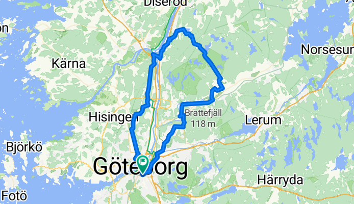
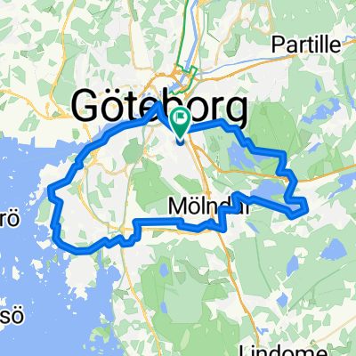
Vättlefjäll Runt Bike a Bike
A cycling route starting in Gothenburg, Västra Götaland County, Sweden.
Overview
About this route
- 3 h 57 min
- Duration
- 65.8 km
- Distance
- 574 m
- Ascent
- 578 m
- Descent
- 16.6 km/h
- Avg. speed
- 126 m
- Max. altitude
Route quality
Waytypes & surfaces along the route
Waytypes
Path
21.7 km
(33 %)
Quiet road
5.3 km
(8 %)
Surfaces
Paved
29.6 km
(45 %)
Asphalt
29 km
(44 %)
Paved (undefined)
0.7 km
(1 %)
Undefined
36.2 km
(55 %)
Continue with Bikemap
Use, edit, or download this cycling route
You would like to ride Vättlefjäll Runt Bike a Bike or customize it for your own trip? Here is what you can do with this Bikemap route:
Free features
- Save this route as favorite or in collections
- Copy & plan your own version of this route
- Sync your route with Garmin or Wahoo
Premium features
Free trial for 3 days, or one-time payment. More about Bikemap Premium.
- Navigate this route on iOS & Android
- Export a GPX / KML file of this route
- Create your custom printout (try it for free)
- Download this route for offline navigation
Discover more Premium features.
Get Bikemap PremiumFrom our community
Other popular routes starting in Gothenburg
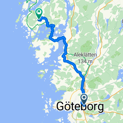
 wycieczka po Goteborgu
- Distance
- 15.6 km
- Ascent
- 107 m
- Descent
- 107 m
- Location
- Gothenburg, Västra Götaland County, Sweden
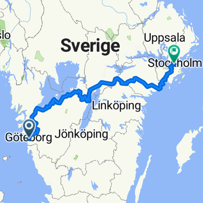 Göteborg -> Sthlm (757,8 km)
- Distance
- 774.6 km
- Ascent
- 6,188 m
- Descent
- 6,193 m
- Location
- Gothenburg, Västra Götaland County, Sweden
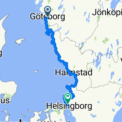
 Göteborg-Frösakull
- Distance
- 147.8 km
- Ascent
- 207 m
- Descent
- 193 m
- Location
- Gothenburg, Västra Götaland County, Sweden
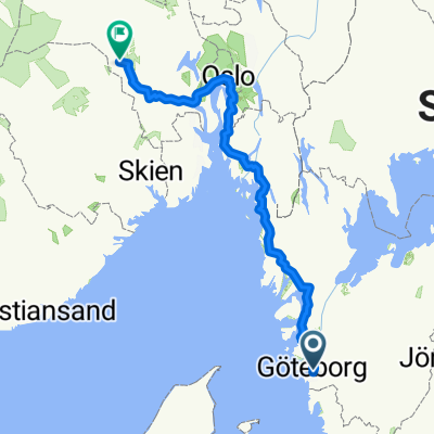
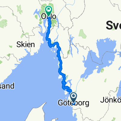 Partie 2.1 Goteborg - Oslo
- Distance
- 428.9 km
- Ascent
- 4,985 m
- Descent
- 4,969 m
- Location
- Gothenburg, Västra Götaland County, Sweden
 Göteborg - Henån
- Distance
- 84.2 km
- Ascent
- 708 m
- Descent
- 700 m
- Location
- Gothenburg, Västra Götaland County, Sweden
 Göteborg Centralst Drottningt to Lövängsvägen
- Distance
- 373 km
- Ascent
- 1,691 m
- Descent
- 1,659 m
- Location
- Gothenburg, Västra Götaland County, Sweden
 Turiststråket - södra
- Distance
- 50 km
- Ascent
- 246 m
- Descent
- 243 m
- Location
- Gothenburg, Västra Götaland County, Sweden
 From Gothenburg Metropolitan Area to Veggli
- Distance
- 506.9 km
- Ascent
- 6,441 m
- Descent
- 6,217 m
- Location
- Gothenburg, Västra Götaland County, Sweden
Open it in the app