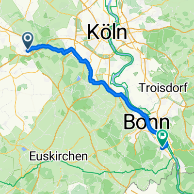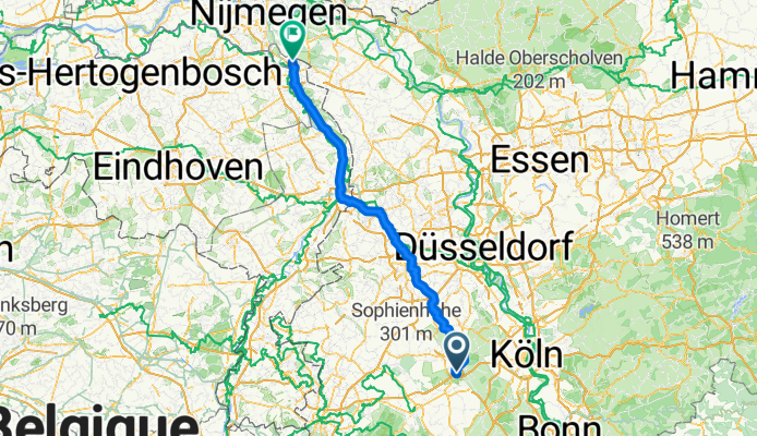


Schöne Rennradtour
- 91.5 km
- 265 m
- 266 m
- Kerpen, North Rhine-Westphalia, Germany
Von Kerpen bis Utrecht
A cycling route starting in Kerpen, North Rhine-Westphalia, Germany.
Overview
created this 3 months ago
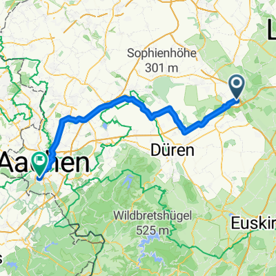
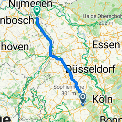
Part of
Von Kerpen bis Utrecht
2 stages
Route quality
Path
45.8 km
(35 %)
Cycleway
35.3 km
(27 %)
Paved
99.5 km
(76 %)
Asphalt
86.4 km
(66 %)
Concrete
7.9 km
(6 %)
Continue with Bikemap
You would like to ride Kerpen - Boxmeer or customize it for your own trip? Here is what you can do with this Bikemap route:
Free trial for 3 days, or one-time payment. More about Bikemap Premium.
Discover more Premium features.
Get Bikemap PremiumFrom our community
Open it in the app