
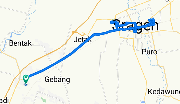
GWGP+33X to GWGP+33X
A cycling route starting in Sragen, Central Java, Indonesia.
Overview
About this route
- 3 h 28 min
- Duration
- 33.4 km
- Distance
- 108 m
- Ascent
- 133 m
- Descent
- 9.6 km/h
- Avg. speed
- 116 m
- Max. altitude

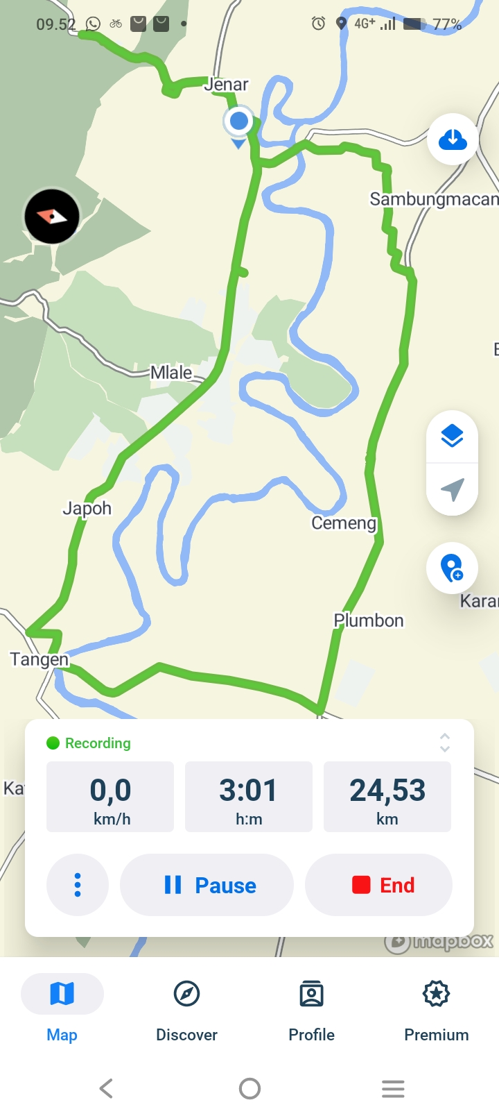
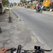
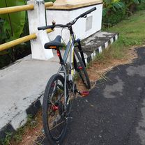
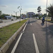
Route photos


Continue with Bikemap
Use, edit, or download this cycling route
You would like to ride GWGP+33X to GWGP+33X or customize it for your own trip? Here is what you can do with this Bikemap route:
Free features
- Save this route as favorite or in collections
- Copy & plan your own version of this route
- Sync your route with Garmin or Wahoo
Premium features
Free trial for 3 days, or one-time payment. More about Bikemap Premium.
- Navigate this route on iOS & Android
- Export a GPX / KML file of this route
- Create your custom printout (try it for free)
- Download this route for offline navigation
Discover more Premium features.
Get Bikemap PremiumFrom our community
Other popular routes starting in Sragen
 Military Base
- Distance
- 4.7 km
- Ascent
- 127 m
- Descent
- 143 m
- Location
- Sragen, Central Java, Indonesia
 hmmm-_
- Distance
- 3.2 km
- Ascent
- 6 m
- Descent
- 12 m
- Location
- Sragen, Central Java, Indonesia
 M467+CXF to M467+CXF
- Distance
- 24.6 km
- Ascent
- 435 m
- Descent
- 470 m
- Location
- Sragen, Central Java, Indonesia
 G483+8X6, Kecamatan Sambirejo to G483+8X6, Kecamatan Sambirejo
- Distance
- 0.1 km
- Ascent
- 0 m
- Descent
- 0 m
- Location
- Sragen, Central Java, Indonesia
 GWGP+33X to GWGP+22W
- Distance
- 19.3 km
- Ascent
- 65 m
- Descent
- 93 m
- Location
- Sragen, Central Java, Indonesia
 Supersonic route in
- Distance
- 8.9 km
- Ascent
- 30 m
- Descent
- 42 m
- Location
- Sragen, Central Java, Indonesia
 GWGP+33X to GWGP+33X
- Distance
- 33.4 km
- Ascent
- 108 m
- Descent
- 133 m
- Location
- Sragen, Central Java, Indonesia
 sunday
- Distance
- 3.6 km
- Ascent
- 15 m
- Descent
- 14 m
- Location
- Sragen, Central Java, Indonesia
Open it in the app