
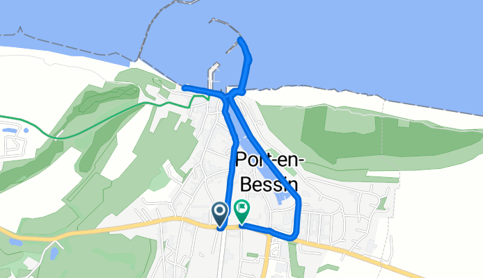
Rue Jacques Cartier nach Rue Maréchal de Tourville
A cycling route starting in Port-en-Bessin-Huppain, Normandy, France.
Overview
About this route
- 20 min
- Duration
- 3.1 km
- Distance
- 15 m
- Ascent
- 63 m
- Descent
- 9.2 km/h
- Avg. speed
- 70 m
- Max. altitude
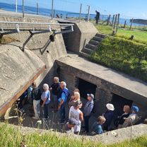
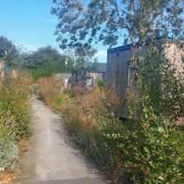
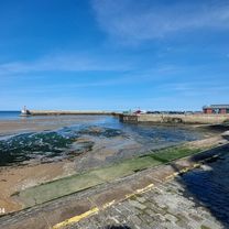
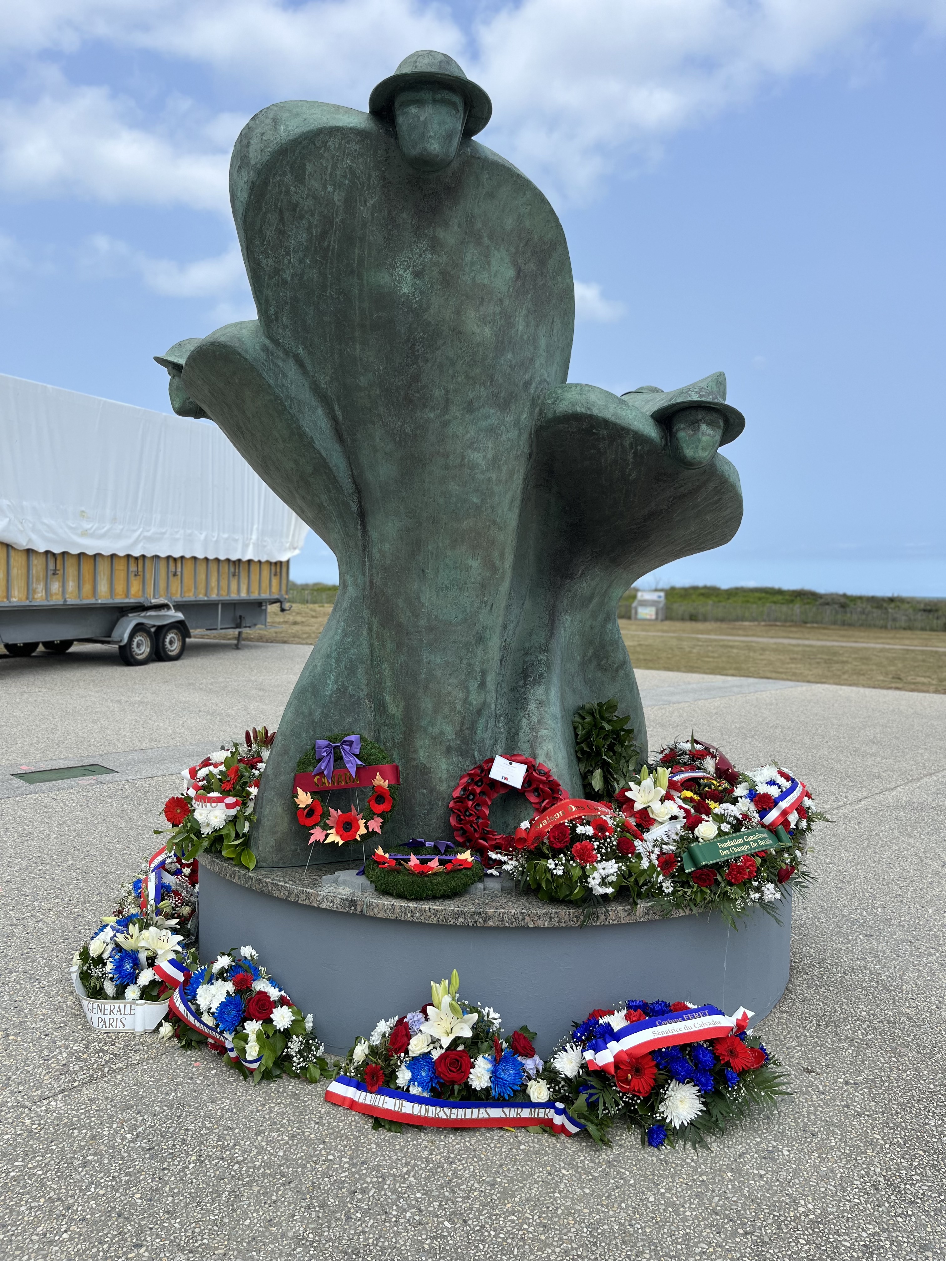
Route photos


Route quality
Waytypes & surfaces along the route
Waytypes
Quiet road
1.4 km
(47 %)
Access road
0.8 km
(25 %)
Surfaces
Paved
2.5 km
(80 %)
Asphalt
2.5 km
(80 %)
Undefined
0.6 km
(20 %)
Continue with Bikemap
Use, edit, or download this cycling route
You would like to ride Rue Jacques Cartier nach Rue Maréchal de Tourville or customize it for your own trip? Here is what you can do with this Bikemap route:
Free features
- Save this route as favorite or in collections
- Copy & plan your own version of this route
- Sync your route with Garmin or Wahoo
Premium features
Free trial for 3 days, or one-time payment. More about Bikemap Premium.
- Navigate this route on iOS & Android
- Export a GPX / KML file of this route
- Create your custom printout (try it for free)
- Download this route for offline navigation
Discover more Premium features.
Get Bikemap PremiumFrom our community
Other popular routes starting in Port-en-Bessin-Huppain
 Grandcamp-Maisy - Ver-sur-Mer
- Distance
- 10.2 km
- Ascent
- 74 m
- Descent
- 72 m
- Location
- Port-en-Bessin-Huppain, Normandy, France
 Tag 22: Normandie 3
- Distance
- 56.3 km
- Ascent
- 405 m
- Descent
- 404 m
- Location
- Port-en-Bessin-Huppain, Normandy, France
 Port en Bessin bis Isigny
- Distance
- 53.6 km
- Ascent
- 351 m
- Descent
- 382 m
- Location
- Port-en-Bessin-Huppain, Normandy, France
 Rue Maréchal de Tourville nach Rue Maréchal de Tourville
- Distance
- 26.5 km
- Ascent
- 250 m
- Descent
- 290 m
- Location
- Port-en-Bessin-Huppain, Normandy, France
 Rue Jacques Cartier nach Rue Maréchal de Tourville
- Distance
- 3.1 km
- Ascent
- 15 m
- Descent
- 63 m
- Location
- Port-en-Bessin-Huppain, Normandy, France
 Chemin du Colombier, Port-en-Bessin-Huppain to Rue Pasteur, Saint-Aubin-sur-Mer
- Distance
- 58.2 km
- Ascent
- 266 m
- Descent
- 310 m
- Location
- Port-en-Bessin-Huppain, Normandy, France
 Chen_Omaha56k
- Distance
- 56.4 km
- Ascent
- 275 m
- Descent
- 282 m
- Location
- Port-en-Bessin-Huppain, Normandy, France
 From Port-en-Bessin-Huppain to Ouistreham 02
- Distance
- 61.4 km
- Ascent
- 212 m
- Descent
- 260 m
- Location
- Port-en-Bessin-Huppain, Normandy, France
Open it in the app