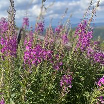
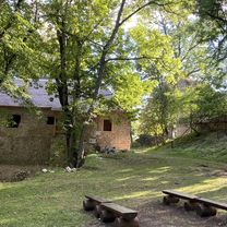
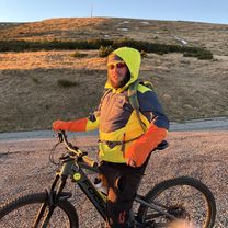
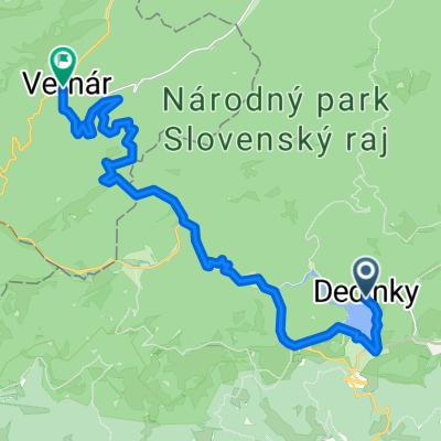
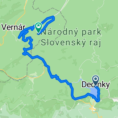
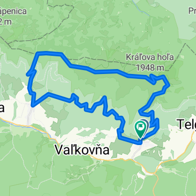
Telgart - Palcmanska masa
A cycling route starting in Dobšiná, Košice Region, Slovakia.
Overview
About this route
- 2 h 55 min
- Duration
- 45.9 km
- Distance
- 571 m
- Ascent
- 568 m
- Descent
- 15.7 km/h
- Avg. speed
- 1,001 m
- Max. altitude
Route photos
Route quality
Waytypes & surfaces along the route
Waytypes
Access road
2.3 km
(5 %)
Quiet road
1.4 km
(3 %)
Surfaces
Paved
37.6 km
(82 %)
Unpaved
1.4 km
(3 %)
Asphalt
37.6 km
(82 %)
Unpaved (undefined)
0.9 km
(2 %)
Continue with Bikemap
Use, edit, or download this cycling route
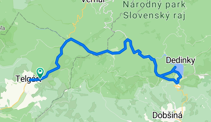
You would like to ride Telgart - Palcmanska masa or customize it for your own trip? Here is what you can do with this Bikemap route:
Free features
- Save this route as favorite or in collections
- Copy & plan your own version of this route
- Sync your route with Garmin or Wahoo
Premium features
Free trial for 3 days, or one-time payment. More about Bikemap Premium.
- Navigate this route on iOS & Android
- Export a GPX / KML file of this route
- Create your custom printout (try it for free)
- Download this route for offline navigation
Discover more Premium features.
Get Bikemap PremiumFrom our community
Other popular routes starting in Dobšiná
Dedinky - Stratená - Stratenský kaňon - Dobšinská Maša - Dedinky CLONED FROM ROUTE 582102- Distance
- 14.3 km
- Ascent
- 449 m
- Descent
- 445 m
- Location
- Dobšiná, Košice Region, Slovakia
Iglói kör- Distance
- 64.7 km
- Ascent
- 958 m
- Descent
- 957 m
- Location
- Dobšiná, Košice Region, Slovakia
Zelená stuha Horehronia- Distance
- 54.8 km
- Ascent
- 979 m
- Descent
- 1,246 m
- Location
- Dobšiná, Košice Region, Slovakia
KH-Certovica- Distance
- 42 km
- Ascent
- 1,110 m
- Descent
- 1,803 m
- Location
- Dobšiná, Košice Region, Slovakia
Kráľovohoľská cesta, Šumiac do Šumiac- Distance
- 11.5 km
- Ascent
- 1,025 m
- Descent
- 33 m
- Location
- Dobšiná, Košice Region, Slovakia
Dedinky- Stratená- s.Kopanec- Blajszloch- Distance
- 26.3 km
- Ascent
- 4,768 m
- Descent
- 4,787 m
- Location
- Dobšiná, Košice Region, Slovakia
Poprad - Eger 3. deň- Distance
- 77.5 km
- Ascent
- 841 m
- Descent
- 1,302 m
- Location
- Dobšiná, Košice Region, Slovakia
Telgárt, Telgárt až Telgárt, Telgárt- Distance
- 48.5 km
- Ascent
- 1,792 m
- Descent
- 1,791 m
- Location
- Dobšiná, Košice Region, Slovakia
Open it in the app


