
Strada Ret, Tomesti - Strada Ret, Tomesti
A cycling route starting in Tomești, Harghita County, Romania.
Overview
About this route
- 32 min
- Duration
- 11.4 km
- Distance
- 34 m
- Ascent
- 35 m
- Descent
- 21.4 km/h
- Avg. speed
- 771 m
- Max. altitude

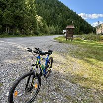
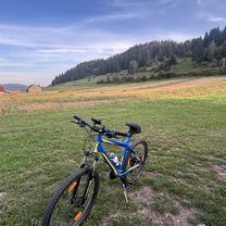
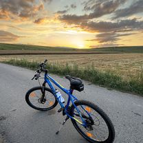
Route photos

Route quality
Waytypes & surfaces along the route
Waytypes
Cycleway
4.7 km
(41 %)
Quiet road
2.1 km
(18 %)
Surfaces
Paved
6.9 km
(60 %)
Asphalt
6.9 km
(60 %)
Undefined
4.6 km
(40 %)
Continue with Bikemap
Use, edit, or download this cycling route
You would like to ride Strada Ret, Tomesti - Strada Ret, Tomesti or customize it for your own trip? Here is what you can do with this Bikemap route:
Free features
- Save this route as favorite or in collections
- Copy & plan your own version of this route
- Sync your route with Garmin or Wahoo
Premium features
Free trial for 3 days, or one-time payment. More about Bikemap Premium.
- Navigate this route on iOS & Android
- Export a GPX / KML file of this route
- Create your custom printout (try it for free)
- Download this route for offline navigation
Discover more Premium features.
Get Bikemap PremiumFrom our community
Other popular routes starting in Tomești
 Strada Ret, Tomesti - Strada Ret, Tomesti
- Distance
- 27.1 km
- Ascent
- 123 m
- Descent
- 124 m
- Location
- Tomești, Harghita County, Romania
 Forditott Egyesko60
- Distance
- 70.2 km
- Ascent
- 1,982 m
- Descent
- 2,021 m
- Location
- Tomești, Harghita County, Romania
 SzentTamás-Liban-Szarhegy
- Distance
- 45.4 km
- Ascent
- 663 m
- Descent
- 632 m
- Location
- Tomești, Harghita County, Romania
 Strada Ret, Tomesti - Strada Ret, Tomesti
- Distance
- 11.4 km
- Ascent
- 34 m
- Descent
- 35 m
- Location
- Tomești, Harghita County, Romania
 Strada Ret, Tomesti - Strada Ret, Tomesti
- Distance
- 7 km
- Ascent
- 16 m
- Descent
- 19 m
- Location
- Tomești, Harghita County, Romania
 Bringatábor 2023 - Felcsík 3
- Distance
- 72.4 km
- Ascent
- 1,259 m
- Descent
- 1,267 m
- Location
- Tomești, Harghita County, Romania
 CARACAU, Livezi to DC146 200, Apa Asău
- Distance
- 74.2 km
- Ascent
- 651 m
- Descent
- 1,199 m
- Location
- Tomești, Harghita County, Romania
 dog attack 😳
- Distance
- 24 km
- Ascent
- 644 m
- Descent
- 652 m
- Location
- Tomești, Harghita County, Romania
Open it in the app