Seeweg, Gräfenhainichen nach Friedrichstraße, Dessau-Roßlau
A cycling route starting in Möhlau, Saxony-Anhalt, Germany.
Overview
About this route
- 2 h 2 min
- Duration
- 23.4 km
- Distance
- 239 m
- Ascent
- 257 m
- Descent
- 11.5 km/h
- Avg. speed
- 85 m
- Max. altitude
Route photos
Route quality
Waytypes & surfaces along the route
Waytypes
Track
4.9 km
(21 %)
Quiet road
4.2 km
(18 %)
Surfaces
Paved
15.2 km
(65 %)
Unpaved
4.1 km
(17 %)
Asphalt
8.3 km
(35 %)
Paved (undefined)
3.4 km
(15 %)
Continue with Bikemap
Use, edit, or download this cycling route
You would like to ride Seeweg, Gräfenhainichen nach Friedrichstraße, Dessau-Roßlau or customize it for your own trip? Here is what you can do with this Bikemap route:
Free features
- Save this route as favorite or in collections
- Copy & plan your own version of this route
- Sync your route with Garmin or Wahoo
Premium features
Free trial for 3 days, or one-time payment. More about Bikemap Premium.
- Navigate this route on iOS & Android
- Export a GPX / KML file of this route
- Create your custom printout (try it for free)
- Download this route for offline navigation
Discover more Premium features.
Get Bikemap PremiumFrom our community
Other popular routes starting in Möhlau
- Dorfstraße 12, Raguhn-Jeßnitz nach Am Schenkenbusch 1a, Dessau-Roßlau
- Distance
- 7.2 km
- Ascent
- 3 m
- Descent
- 50 m
- Location
- Möhlau, Saxony-Anhalt, Germany
- Seeweg, Gräfenhainichen nach Friedrichstraße, Dessau-Roßlau
- Distance
- 23.4 km
- Ascent
- 239 m
- Descent
- 257 m
- Location
- Möhlau, Saxony-Anhalt, Germany
- Etappe 4: Möhlauer See- Bad Belzig
- Distance
- 73.8 km
- Ascent
- 375 m
- Descent
- 368 m
- Location
- Möhlau, Saxony-Anhalt, Germany
- Seeweg, Gräfenhainichen nach Uferpromenade, Gräfenhainichen
- Distance
- 75.6 km
- Ascent
- 1,002 m
- Descent
- 1,006 m
- Location
- Möhlau, Saxony-Anhalt, Germany
- naturcampingplatz Möhlauer See
- Distance
- 16.3 km
- Ascent
- 19 m
- Descent
- 64 m
- Location
- Möhlau, Saxony-Anhalt, Germany
- Möhlau - Großer Goitzesee
- Distance
- 16.4 km
- Ascent
- 58 m
- Descent
- 58 m
- Location
- Möhlau, Saxony-Anhalt, Germany
- B Radwegverbinder V 2 Muldentalradweg mit Radroute Berlin - Leipzig
- Distance
- 30.8 km
- Ascent
- 131 m
- Descent
- 106 m
- Location
- Möhlau, Saxony-Anhalt, Germany
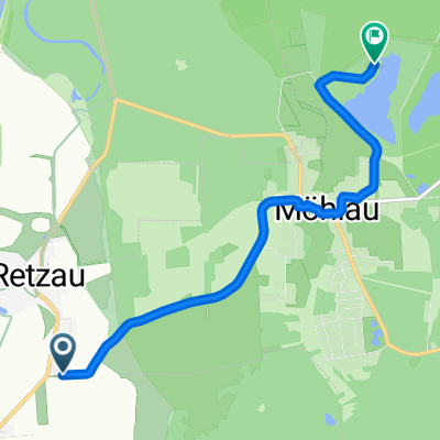
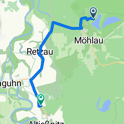
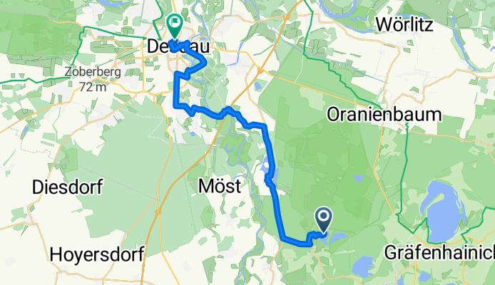
- Möhlau - Sollnitz - Mildensee - Oranienbaum - Jüdenberg - Möhlau
- Distance
- 33.2 km
- Ascent
- 77 m
- Descent
- 75 m
- Location
- Möhlau, Saxony-Anhalt, Germany
Open it in the app