

Wahnsinnsfahrt
- 90.2 km
- 453 m
- 453 m
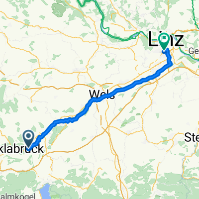
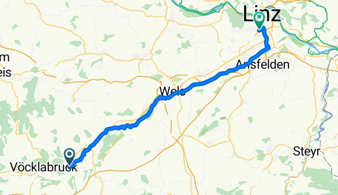
- Attnang-Puchheim, Upper Austria, Austria
A cycling route starting in Attnang-Puchheim, Upper Austria, Austria.
Overview
created this 3 months ago
Route quality
Quiet road
24.7 km
(38 %)
Cycleway
16.9 km
(26 %)
Paved
35.7 km
(55 %)
Unpaved
9.1 km
(14 %)
Asphalt
33.8 km
(52 %)
Gravel
9.1 km
(14 %)
Continue with Bikemap
You would like to ride Route nach Linz or customize it for your own trip? Here is what you can do with this Bikemap route:
Free trial for 3 days, or one-time payment. More about Bikemap Premium.
Discover more Premium features.
Get Bikemap PremiumFrom our community
Open it in the app