
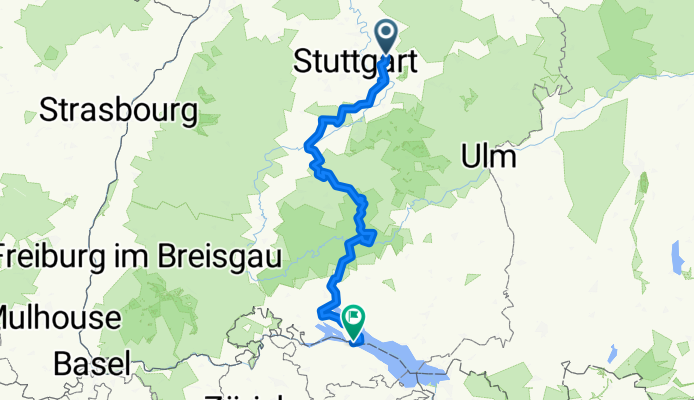
Hohenzollern Radweg
A cycling route starting in Weinstadt-Endersbach, Baden-Wurttemberg, Germany.
Overview
About this route
- 17 h 15 min
- Duration
- 269.4 km
- Distance
- 2,351 m
- Ascent
- 2,191 m
- Descent
- 15.6 km/h
- Avg. speed
- 734 m
- Max. altitude

Continue with Bikemap
Use, edit, or download this cycling route
You would like to ride Hohenzollern Radweg or customize it for your own trip? Here is what you can do with this Bikemap route:
Free features
- Save this route as favorite or in collections
- Copy & plan your own version of this route
- Split it into stages to create a multi-day tour
- Sync your route with Garmin or Wahoo
Premium features
Free trial for 3 days, or one-time payment. More about Bikemap Premium.
- Navigate this route on iOS & Android
- Export a GPX / KML file of this route
- Create your custom printout (try it for free)
- Download this route for offline navigation
Discover more Premium features.
Get Bikemap PremiumFrom our community
Other popular routes starting in Weinstadt-Endersbach
 Waiblingen-Breuningsweiler-Schwaikheim
- Distance
- 23.7 km
- Ascent
- 538 m
- Descent
- 457 m
- Location
- Weinstadt-Endersbach, Baden-Wurttemberg, Germany
 Rundtour Endersbach
- Distance
- 17.2 km
- Ascent
- 199 m
- Descent
- 200 m
- Location
- Weinstadt-Endersbach, Baden-Wurttemberg, Germany
 Remstal - Fellbach - Strümpfelbach durch die Weinberge
- Distance
- 34.5 km
- Ascent
- 379 m
- Descent
- 377 m
- Location
- Weinstadt-Endersbach, Baden-Wurttemberg, Germany
 Beutelsbsch- Saffrichhof-Winterbach
- Distance
- 17.7 km
- Ascent
- 306 m
- Descent
- 380 m
- Location
- Weinstadt-Endersbach, Baden-Wurttemberg, Germany
 Leichte Trainingsstrecke um Kernen
- Distance
- 26.3 km
- Ascent
- 164 m
- Descent
- 203 m
- Location
- Weinstadt-Endersbach, Baden-Wurttemberg, Germany
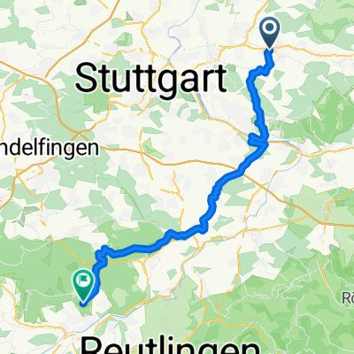 Weinstadt-Endersbach - Tübingen
- Distance
- 56.9 km
- Ascent
- 642 m
- Descent
- 527 m
- Location
- Weinstadt-Endersbach, Baden-Wurttemberg, Germany
 Remstal and more
- Distance
- 32.3 km
- Ascent
- 315 m
- Descent
- 315 m
- Location
- Weinstadt-Endersbach, Baden-Wurttemberg, Germany
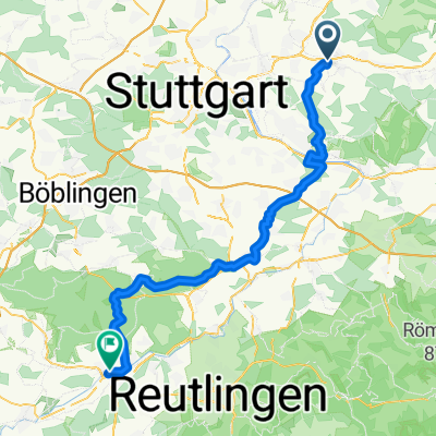 Weinstadt-Endersbach - Tübingen
- Distance
- 62.5 km
- Ascent
- 767 m
- Descent
- 688 m
- Location
- Weinstadt-Endersbach, Baden-Wurttemberg, Germany
Open it in the app