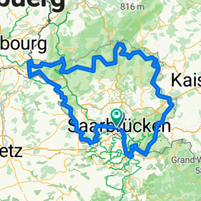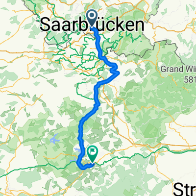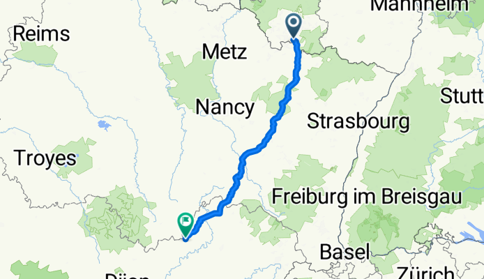

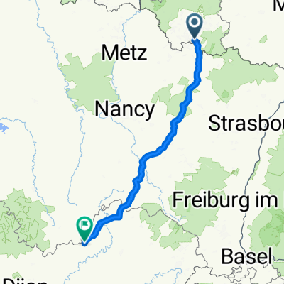
Saarbrücken - Bains-les-Bains
- 251 km
- 2,396 m
- 2,331 m
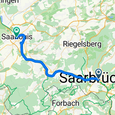
- Saarbrücken, Saarland, Germany
SB nach Vaison la R. Chemin des Fontaines
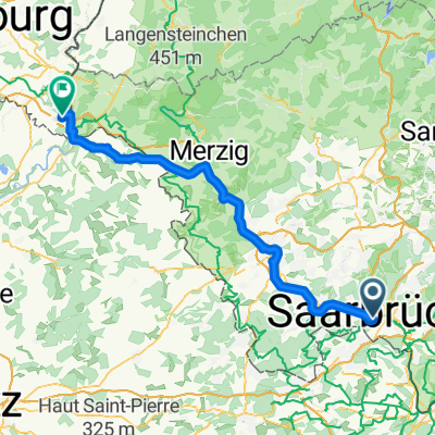
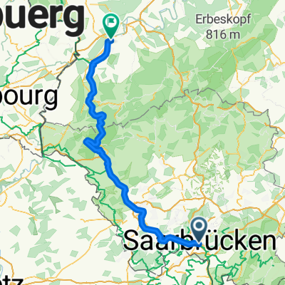
A cycling route starting in Saarbrücken, Saarland, Germany.
Overview
created this 3 months ago
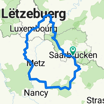
Part of
SB nach Vaison la R. Chemin des Fontaines
2 stages
Route quality
Road
107.9 km
(43 %)
Quiet road
50.2 km
(20 %)
Paved
133 km
(53 %)
Asphalt
105.4 km
(42 %)
Paved (undefined)
22.6 km
(9 %)
Continue with Bikemap
You would like to ride Saarbrücken - Bains-les-Bains or customize it for your own trip? Here is what you can do with this Bikemap route:
Free trial for 3 days, or one-time payment. More about Bikemap Premium.
Discover more Premium features.
Get Bikemap PremiumFrom our community
Open it in the app