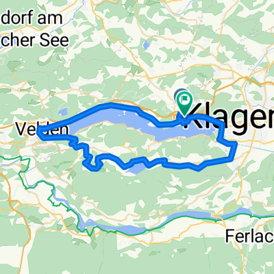


pört_Bal_Gerlitz
- 45.2 km
- 1,683 m
- 420 m
- Maria Wörth, Carinthia, Austria
Overview
created this 3 months ago
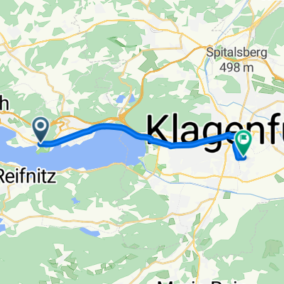
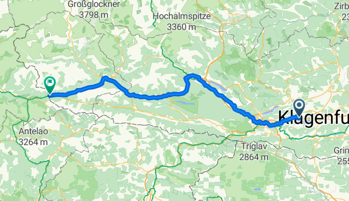
Part of
5 stages
Route quality
Cycleway
90.7 km
(50 %)
Quiet road
38.1 km
(21 %)
Paved
128.8 km
(71 %)
Unpaved
27.2 km
(15 %)
Asphalt
123.3 km
(68 %)
Gravel
12.7 km
(7 %)
Continue with Bikemap
You would like to ride Maria Wörth - Sillian or customize it for your own trip? Here is what you can do with this Bikemap route:
Free trial for 3 days, or one-time payment. More about Bikemap Premium.
Discover more Premium features.
Get Bikemap PremiumFrom our community
Open it in the app