
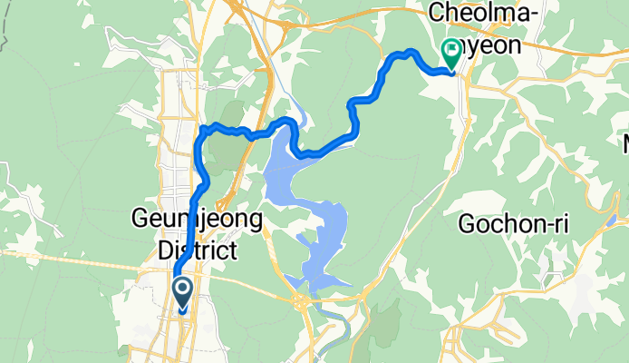
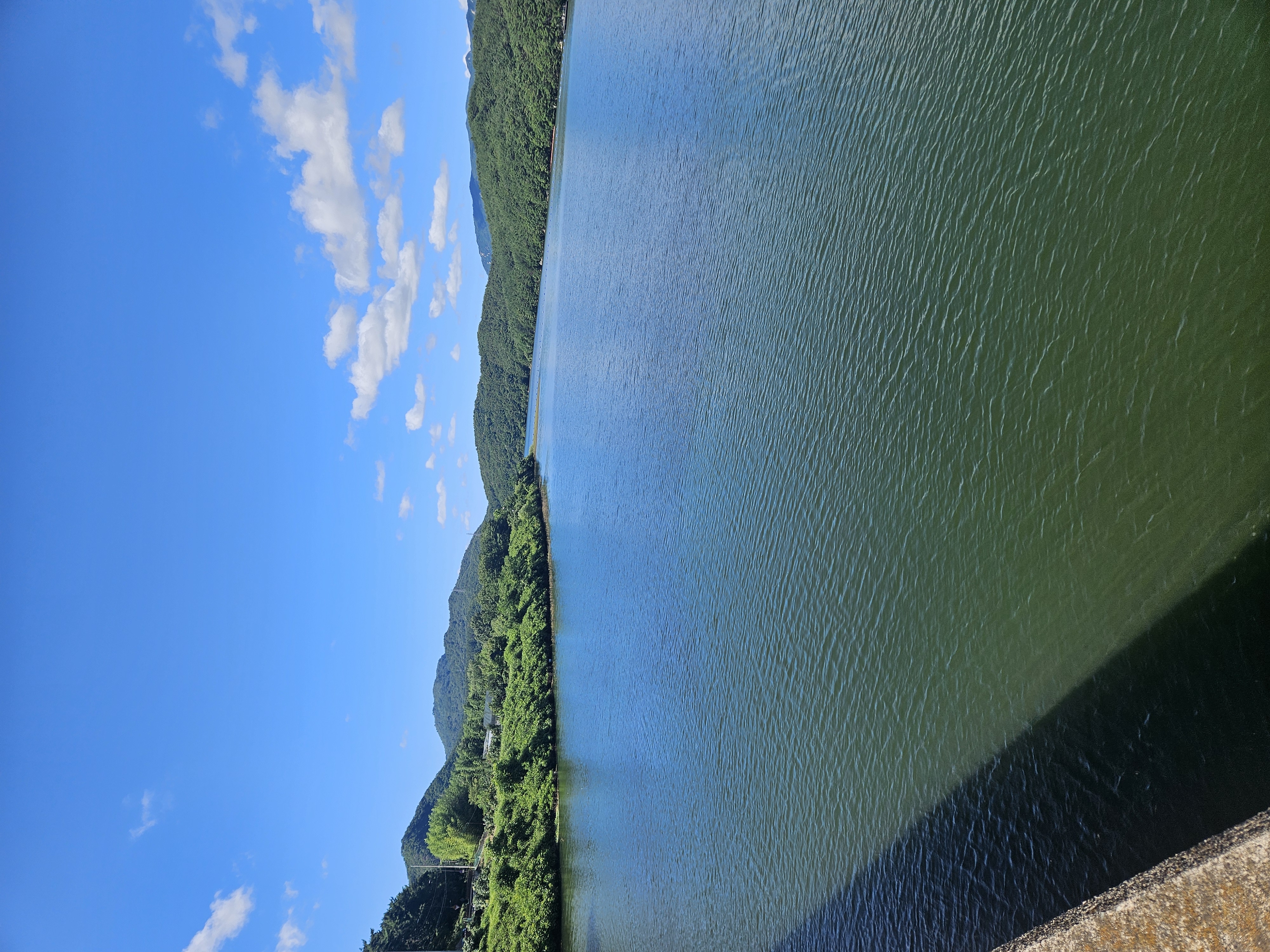
9.8 회동수원지 업1
A cycling route starting in Gijang, Busan, South Korea.
Overview
About this route
- 32 min
- Duration
- 12 km
- Distance
- 121 m
- Ascent
- 98 m
- Descent
- 22.6 km/h
- Avg. speed
- 84 m
- Max. altitude

Continue with Bikemap
Use, edit, or download this cycling route
You would like to ride 9.8 회동수원지 업1 or customize it for your own trip? Here is what you can do with this Bikemap route:
Free features
- Save this route as favorite or in collections
- Copy & plan your own version of this route
- Sync your route with Garmin or Wahoo
Premium features
Free trial for 3 days, or one-time payment. More about Bikemap Premium.
- Navigate this route on iOS & Android
- Export a GPX / KML file of this route
- Create your custom printout (try it for free)
- Download this route for offline navigation
Discover more Premium features.
Get Bikemap PremiumFrom our community
Other popular routes starting in Gijang
 9.15.회동수원지 상행1
- Distance
- 12.1 km
- Ascent
- 124 m
- Descent
- 94 m
- Location
- Gijang, Busan, South Korea
 9.8 회동수원지 업1
- Distance
- 12 km
- Ascent
- 121 m
- Descent
- 98 m
- Location
- Gijang, Busan, South Korea
 수원지업힐 편도1
- Distance
- 12.7 km
- Ascent
- 163 m
- Descent
- 143 m
- Location
- Gijang, Busan, South Korea
 온천천 수영천 호동저수지 철마 석대교차로 수영강변 집
- Distance
- 54.5 km
- Ascent
- 501 m
- Descent
- 525 m
- Location
- Gijang, Busan, South Korea
 sokcho
- Distance
- 498.8 km
- Ascent
- 9,149 m
- Descent
- 8,958 m
- Location
- Gijang, Busan, South Korea
 회동저수지 일원 2025.8.3 6시30~
- Distance
- 21.1 km
- Ascent
- 119 m
- Descent
- 145 m
- Location
- Gijang, Busan, South Korea
 The Oncheon-Guseo Riverside Shortthread
- Distance
- 8.8 km
- Ascent
- 139 m
- Descent
- 142 m
- Location
- Gijang, Busan, South Korea
 Jung-dong 1064-8 to 초곡리종점, Pohang-si
- Distance
- 149.3 km
- Ascent
- 1,611 m
- Descent
- 1,555 m
- Location
- Gijang, Busan, South Korea
Open it in the app