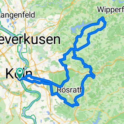

Bornheimer-Bach Radtour
- 57.6 km
- 87 m
- 83 m
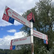
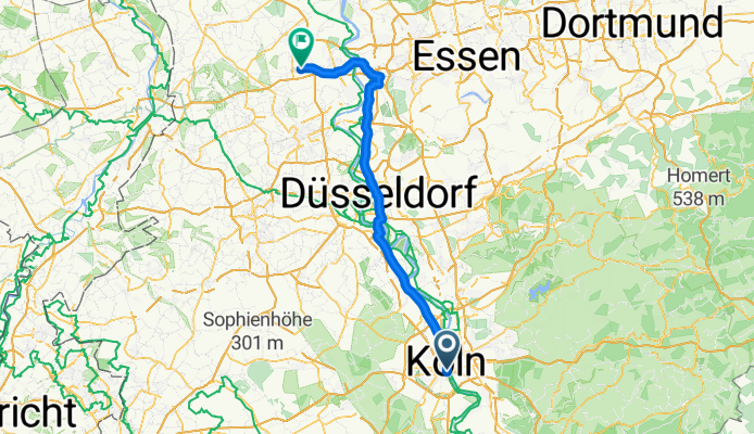
- Altstadt Sud, North Rhine-Westphalia, Germany
Konstanz-Hoek
A cycling route starting in Altstadt Sud, North Rhine-Westphalia, Germany.
Overview
created this 4 months ago
Part of
12 stages
Route quality
Path
40.8 km
(47 %)
Quiet road
13 km
(15 %)
Paved
50.4 km
(58 %)
Unpaved
1.7 km
(2 %)
Asphalt
47.8 km
(55 %)
Paved (undefined)
2.6 km
(3 %)
Continue with Bikemap
You would like to ride Altstadt Sud - Moers or customize it for your own trip? Here is what you can do with this Bikemap route:
Free trial for 3 days, or one-time payment. More about Bikemap Premium.
Discover more Premium features.
Get Bikemap PremiumFrom our community
Open it in the app