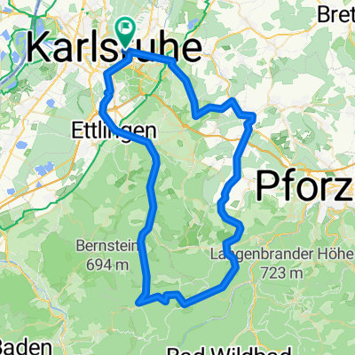


Von KA-Beiertheim nach Würmersheim (Durmersheim)
- 16.1 km
- 18 m
- 83 m
- Karlsruhe, Baden-Wurttemberg, Germany
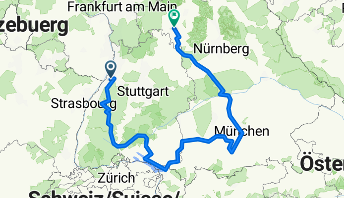
A cycling route starting in Karlsruhe, Baden-Wurttemberg, Germany.
Overview
created this 3 months ago
Route quality
Quiet road
343.6 km
(32 %)
Track
236.3 km
(22 %)
Paved
805.4 km
(75 %)
Unpaved
107.4 km
(10 %)
Asphalt
773.2 km
(72 %)
Gravel
85.9 km
(8 %)
Route highlights
Camping Karlsruhe-Durlach
Camoing Ebersbronn
Naturcamping Tannenfels
Camping Schiltach
Camping Riedsee
Camping Hausen im Tal
Camping Neufarch
Camping Lindau Zech
Camping Isny
Camping Buxheim
Kur und Vital Camping Bad Wörrishofen
Camping Gasthof Woerl
Campingplatz Pilsensee
Camping Ambach am See
bei Maria München-Allach
Camping Bootshaus Neuburg
Campingplatz Treuchtlingen
Camping Tauberromantik
Camping Knaus Frickenhausen
Continue with Bikemap
You would like to ride Karlsruhe-Würzburg or customize it for your own trip? Here is what you can do with this Bikemap route:
Free trial for 3 days, or one-time payment. More about Bikemap Premium.
Discover more Premium features.
Get Bikemap PremiumFrom our community
Open it in the app