
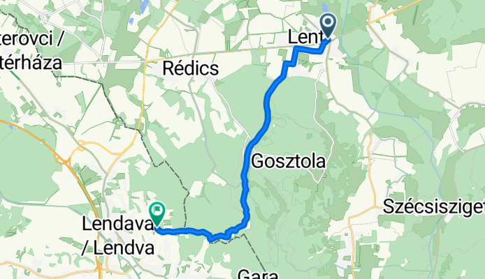
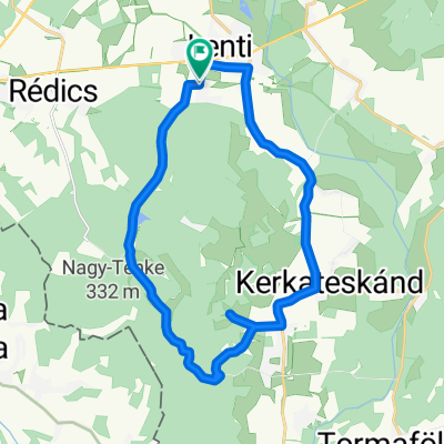
Ungarn nach Dolgovaške Gorice
A cycling route starting in Lenti, Zala County, Hungary.
Overview
About this route
- 47 min
- Duration
- 12.1 km
- Distance
- 245 m
- Ascent
- 116 m
- Descent
- 15.3 km/h
- Avg. speed
- 329 m
- Max. altitude
Route quality
Waytypes & surfaces along the route
Waytypes
Quiet road
5.3 km
(44 %)
Cycleway
3.9 km
(32 %)
Surfaces
Paved
7.4 km
(61 %)
Asphalt
6 km
(50 %)
Paved (undefined)
1.3 km
(11 %)
Undefined
4.7 km
(39 %)
Continue with Bikemap
Use, edit, or download this cycling route
You would like to ride Ungarn nach Dolgovaške Gorice or customize it for your own trip? Here is what you can do with this Bikemap route:
Free features
- Save this route as favorite or in collections
- Copy & plan your own version of this route
- Sync your route with Garmin or Wahoo
Premium features
Free trial for 3 days, or one-time payment. More about Bikemap Premium.
- Navigate this route on iOS & Android
- Export a GPX / KML file of this route
- Create your custom printout (try it for free)
- Download this route for offline navigation
Discover more Premium features.
Get Bikemap PremiumFrom our community
Other popular routes starting in Lenti
 Csömödér kisvasút - Nova közút
- Distance
- 12.8 km
- Ascent
- 61 m
- Descent
- 50 m
- Location
- Lenti, Zala County, Hungary
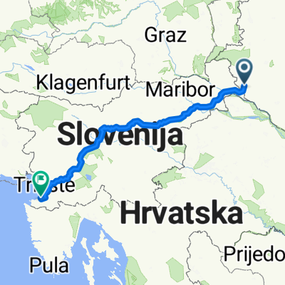 Lenti-Koper
- Distance
- 359 km
- Ascent
- 5,288 m
- Descent
- 5,449 m
- Location
- Lenti, Zala County, Hungary
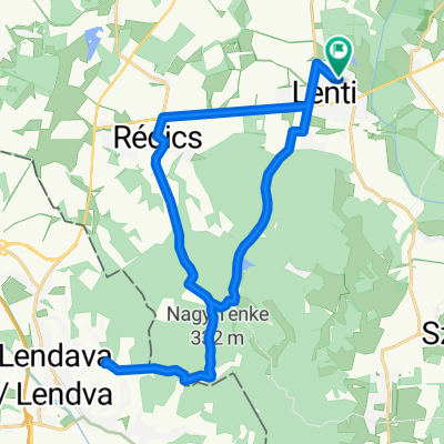
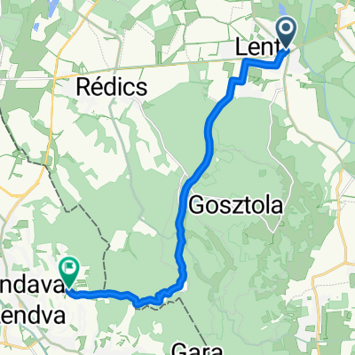 Ungarn nach Dolgovaške Gorice
- Distance
- 12.1 km
- Ascent
- 245 m
- Descent
- 116 m
- Location
- Lenti, Zala County, Hungary
 Fő utca, Nova to Aurisina, Duino Aurisina
- Distance
- 367.2 km
- Ascent
- 5,228 m
- Descent
- 5,272 m
- Location
- Lenti, Zala County, Hungary
 Hunyadi utca - Hunyadi utca
- Distance
- 43.6 km
- Ascent
- 367 m
- Descent
- 413 m
- Location
- Lenti, Zala County, Hungary
 Táncsics utca nach Táncsics utca
- Distance
- 26.1 km
- Ascent
- 322 m
- Descent
- 320 m
- Location
- Lenti, Zala County, Hungary
 Hunyadi utca - Hunyadi utca
- Distance
- 28.1 km
- Ascent
- 380 m
- Descent
- 427 m
- Location
- Lenti, Zala County, Hungary
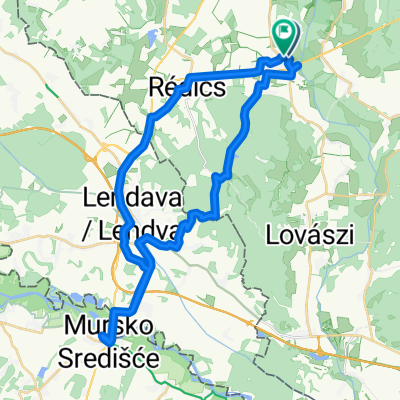
 Nemesnép - Őriszentpéter
- Distance
- 39.8 km
- Ascent
- 285 m
- Descent
- 217 m
- Location
- Lenti, Zala County, Hungary
Open it in the app