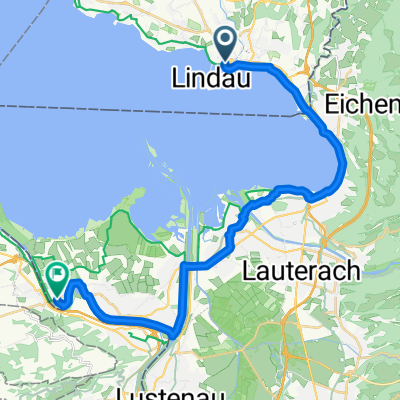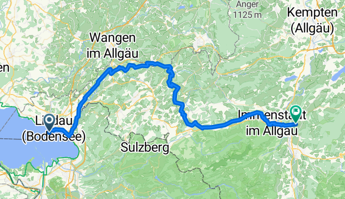

Bregenzer Straße, Lindau to Lindau
- 0.8 km
- 6 m
- 7 m
- Lindau, Bavaria, Germany
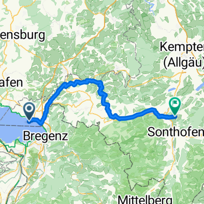
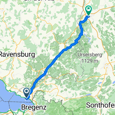
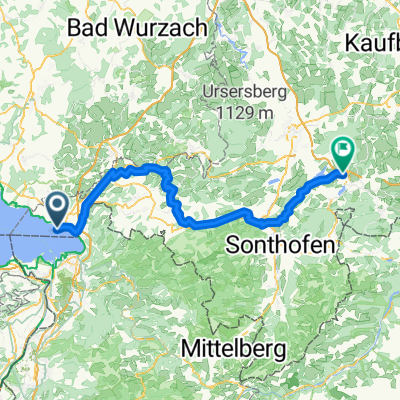
Bodensee-Königssee-Radweg
A cycling route starting in Lindau, Bavaria, Germany.
Overview
created this 3 months ago
Part of
6 stages
Route quality
Quiet road
47.9 km
(66 %)
Path
7.3 km
(10 %)
Paved
68.3 km
(94 %)
Unpaved
2.2 km
(3 %)
Asphalt
68.3 km
(94 %)
Unpaved (undefined)
1.5 km
(2 %)
Continue with Bikemap
You would like to ride Lindau - Burgberg im Allgäu or customize it for your own trip? Here is what you can do with this Bikemap route:
Free trial for 3 days, or one-time payment. More about Bikemap Premium.
Discover more Premium features.
Get Bikemap PremiumFrom our community
Open it in the app