
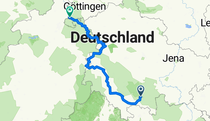
Werra von der Quelle bis Mündung
A cycling route starting in Masserberg, Thuringia, Germany.
Overview
About this route
- 65 h 58 min
- Duration
- 323.1 km
- Distance
- 1,571 m
- Ascent
- 2,173 m
- Descent
- 4.9 km/h
- Avg. speed
- 736 m
- Max. altitude
Route photos


Route quality
Waytypes & surfaces along the route
Waytypes
Quiet road
96.9 km
(30 %)
Track
74.3 km
(23 %)
Surfaces
Paved
245.5 km
(76 %)
Unpaved
25.8 km
(8 %)
Asphalt
235.8 km
(73 %)
Gravel
22.6 km
(7 %)
Continue with Bikemap
Use, edit, or download this cycling route
You would like to ride Werra von der Quelle bis Mündung or customize it for your own trip? Here is what you can do with this Bikemap route:
Free features
- Save this route as favorite or in collections
- Copy & plan your own version of this route
- Split it into stages to create a multi-day tour
- Sync your route with Garmin or Wahoo
Premium features
Free trial for 3 days, or one-time payment. More about Bikemap Premium.
- Navigate this route on iOS & Android
- Export a GPX / KML file of this route
- Create your custom printout (try it for free)
- Download this route for offline navigation
Discover more Premium features.
Get Bikemap PremiumFrom our community
Other popular routes starting in Masserberg
 Werra von der Quelle bis Mündung
- Distance
- 323.1 km
- Ascent
- 1,571 m
- Descent
- 2,173 m
- Location
- Masserberg, Thuringia, Germany
 Werratal-Radweg
- Distance
- 278.6 km
- Ascent
- 145 m
- Descent
- 798 m
- Location
- Masserberg, Thuringia, Germany
 Werraradweg
- Distance
- 332.8 km
- Ascent
- 587 m
- Descent
- 1,236 m
- Location
- Masserberg, Thuringia, Germany
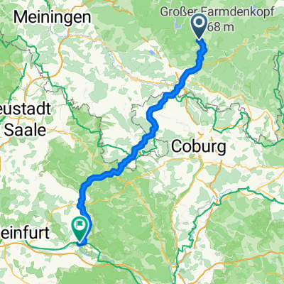
 2025-05-08_Masserberg-Werra-Meiningen
- Distance
- 71.5 km
- Ascent
- 511 m
- Descent
- 1,001 m
- Location
- Masserberg, Thuringia, Germany
 RennsteigFeierabendrunde CLONED FROM ROUTE 187129
- Distance
- 33.6 km
- Ascent
- 476 m
- Descent
- 476 m
- Location
- Masserberg, Thuringia, Germany
 Masserberg/Königsetappe FP 09.2013
- Distance
- 160.3 km
- Ascent
- 1,694 m
- Descent
- 1,691 m
- Location
- Masserberg, Thuringia, Germany
 A1 Am Badehaus, Masserberg nach Am Ziegelbrunn, Haßfurt
- Distance
- 88.4 km
- Ascent
- 860 m
- Descent
- 1,427 m
- Location
- Masserberg, Thuringia, Germany
 Skoda aktiv Intensiv 13.09.2009 JE_HR
- Distance
- 86.4 km
- Ascent
- 804 m
- Descent
- 1,125 m
- Location
- Masserberg, Thuringia, Germany
Open it in the app