
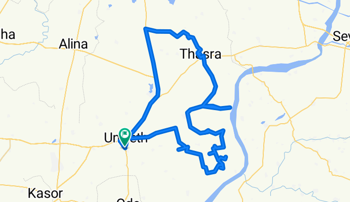
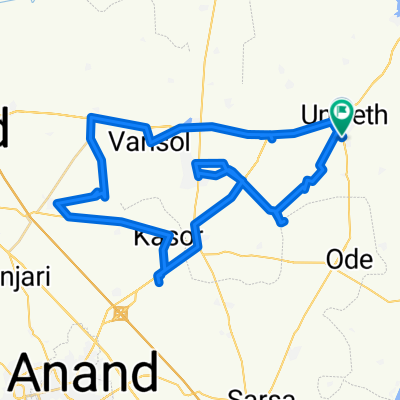
Route to Gujarat State Highway
A cycling route starting in Umreth, Gujarat, India.
Overview
About this route
- 12 h 12 min
- Duration
- 111 km
- Distance
- 691 m
- Ascent
- 660 m
- Descent
- 9.1 km/h
- Avg. speed
- 93 m
- Max. altitude

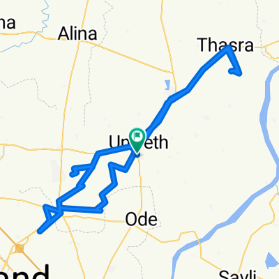
Route photos


Continue with Bikemap
Use, edit, or download this cycling route
You would like to ride Route to Gujarat State Highway or customize it for your own trip? Here is what you can do with this Bikemap route:
Free features
- Save this route as favorite or in collections
- Copy & plan your own version of this route
- Split it into stages to create a multi-day tour
- Sync your route with Garmin or Wahoo
Premium features
Free trial for 3 days, or one-time payment. More about Bikemap Premium.
- Navigate this route on iOS & Android
- Export a GPX / KML file of this route
- Create your custom printout (try it for free)
- Download this route for offline navigation
Discover more Premium features.
Get Bikemap PremiumFrom our community
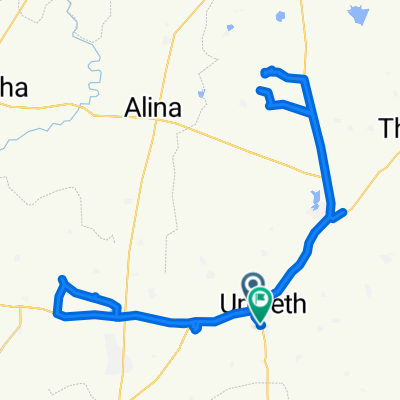
Other popular routes starting in Umreth
 Gujarat State Highway to Gujarat State Highway
- Distance
- 94.7 km
- Ascent
- 366 m
- Descent
- 326 m
- Location
- Umreth, Gujarat, India
 Route from M4Q7+HVa
- Distance
- 107.9 km
- Ascent
- 594 m
- Descent
- 556 m
- Location
- Umreth, Gujarat, India
 146 km
- Distance
- 116.1 km
- Ascent
- 628 m
- Descent
- 589 m
- Location
- Umreth, Gujarat, India
 M4Q7+HV to M4Q7+HV
- Distance
- 56.4 km
- Ascent
- 277 m
- Descent
- 249 m
- Location
- Umreth, Gujarat, India
 Gujarat State Highway to Gujarat State Highway
- Distance
- 140.2 km
- Ascent
- 609 m
- Descent
- 554 m
- Location
- Umreth, Gujarat, India
 Gujarat State Highway to M4Q7+HV
- Distance
- 82 km
- Ascent
- 551 m
- Descent
- 517 m
- Location
- Umreth, Gujarat, India
 Nadiad - Dakor Road to M4Q7+HV
- Distance
- 102.7 km
- Ascent
- 503 m
- Descent
- 457 m
- Location
- Umreth, Gujarat, India
 Gujarat State Highway to M4Q7+HV
- Distance
- 85.1 km
- Ascent
- 393 m
- Descent
- 347 m
- Location
- Umreth, Gujarat, India
Open it in the app