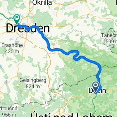

Drážďanská do Svatopluka Čecha
- 81 km
- 1,423 m
- 1,415 m
- Děčín, Ústecký kraj, Czechia
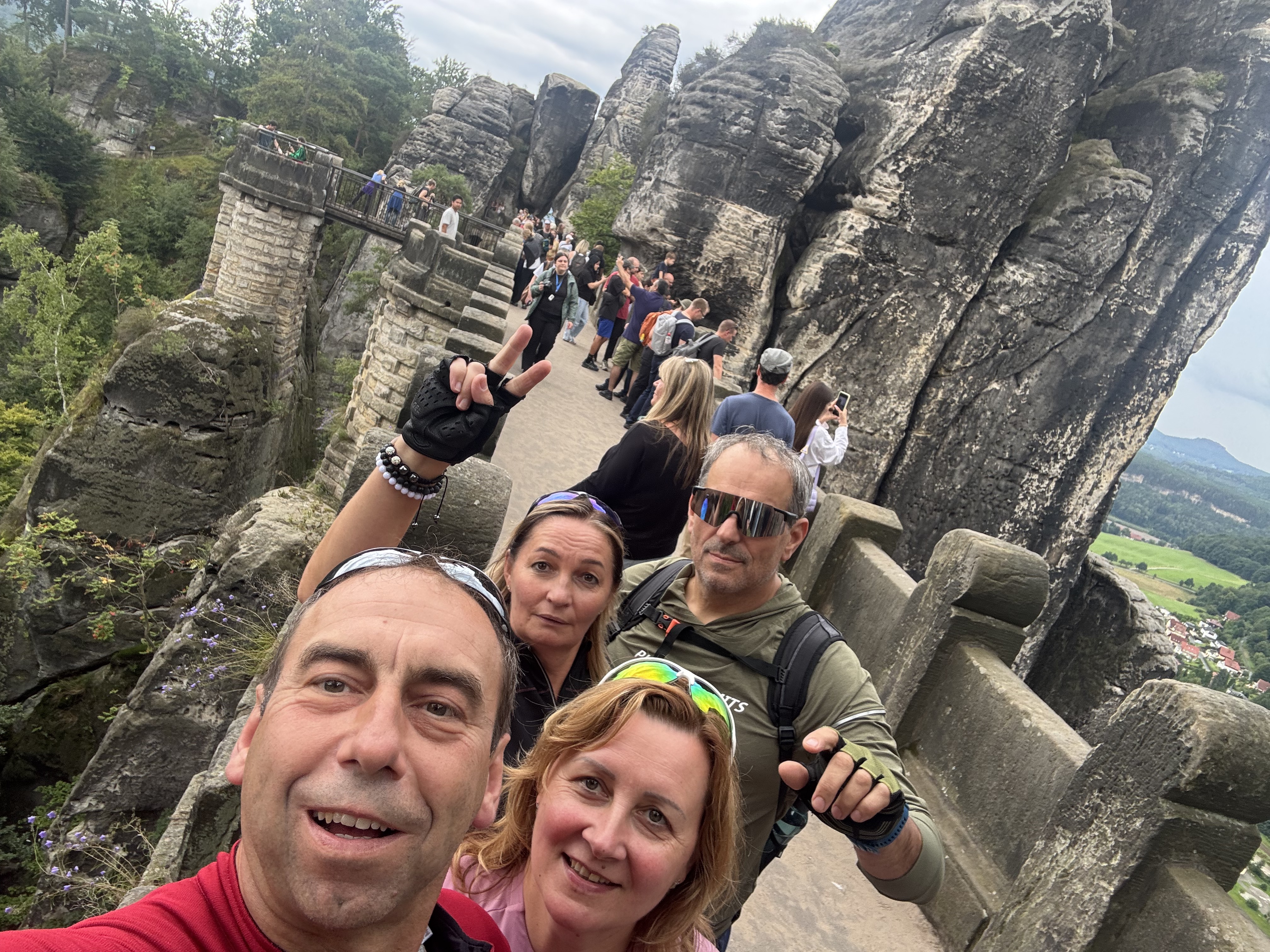
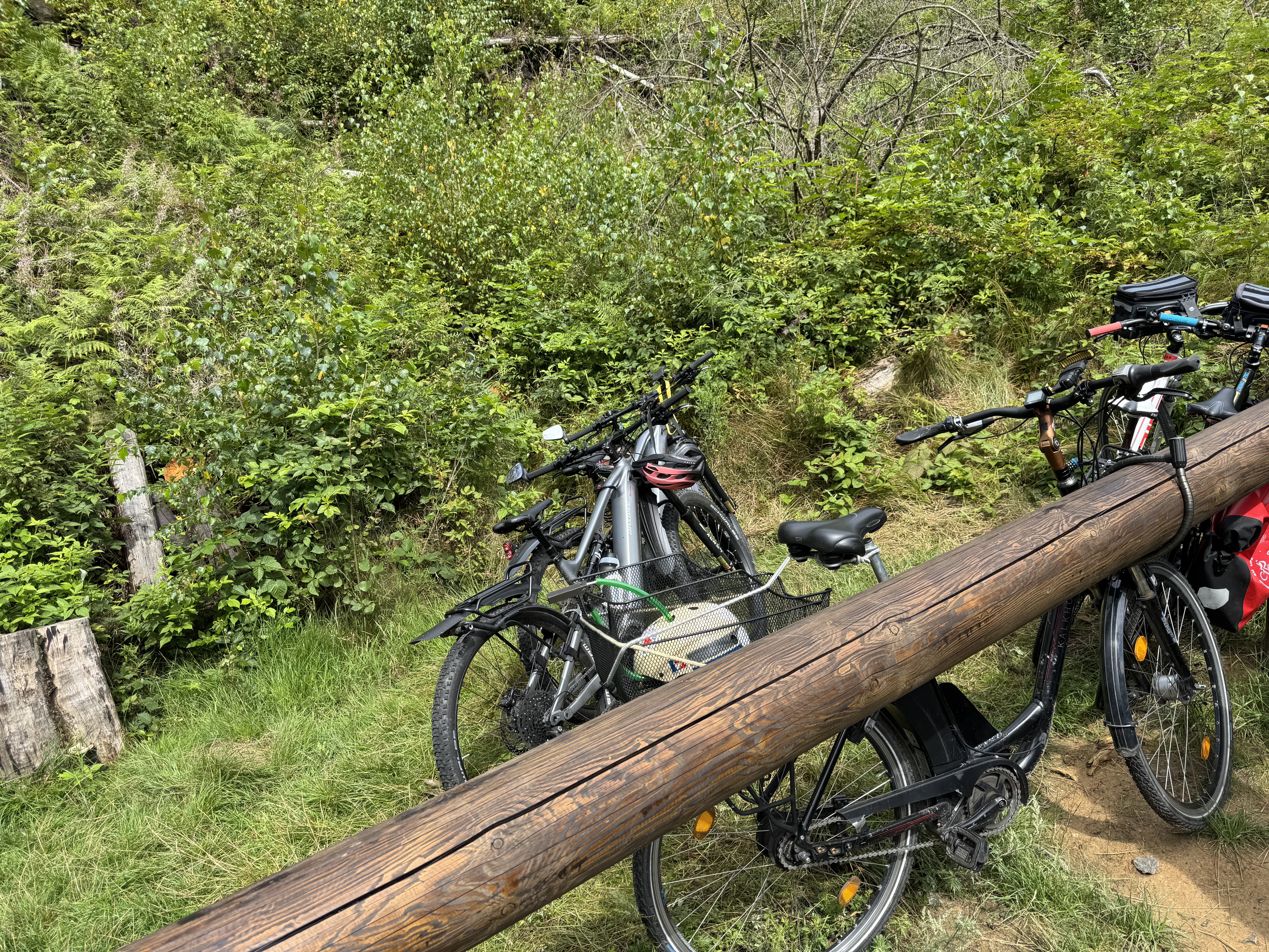
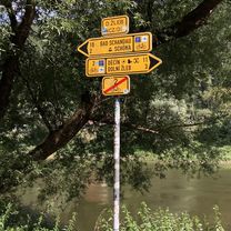
A cycling route starting in Děčín, Ústecký kraj, Czechia.
Overview
created this 3 months ago


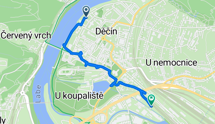
Route quality
Quiet road
1.2 km
(41 %)
Pedestrian area
0.9 km
(29 %)
Paved
1.6 km
(55 %)
Asphalt
1.6 km
(55 %)
Undefined
1.3 km
(45 %)
Continue with Bikemap
You would like to ride Československé armády do 17. listopadu or customize it for your own trip? Here is what you can do with this Bikemap route:
Free trial for 3 days, or one-time payment. More about Bikemap Premium.
Discover more Premium features.
Get Bikemap PremiumFrom our community
Open it in the app