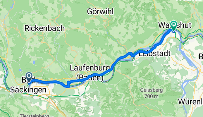


Säckingen - Gippingen - Buch - Strittmatt - Oberhof - Harpolingen - Säckingen
- 98.8 km
- 977 m
- 976 m
- Stein, Canton of Aargau, Switzerland
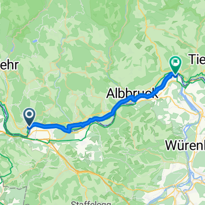
Rhein Radweg Basel - Konstanz
A cycling route starting in Stein, Canton of Aargau, Switzerland.
Overview
created this 5 months ago
Part of
3 stages
Route quality
Quiet road
8.6 km
(34 %)
Access road
4.8 km
(19 %)
Paved
19.6 km
(77 %)
Unpaved
4.6 km
(18 %)
Asphalt
19.3 km
(76 %)
Gravel
4.6 km
(18 %)
Continue with Bikemap
You would like to ride Basel - Koblenz AG or customize it for your own trip? Here is what you can do with this Bikemap route:
Free trial for 3 days, or one-time payment. More about Bikemap Premium.
Discover more Premium features.
Get Bikemap PremiumFrom our community
Open it in the app