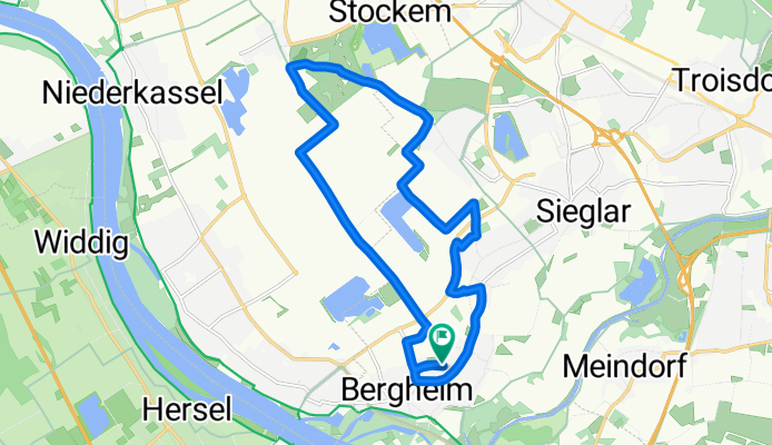


Gertrud-Bäumer-Straße, Troisdorf nach Gertrud-Bäumer-Straße, Troisdorf
- 14.3 km
- 95 m
- 95 m
- Troisdorf, North Rhine-Westphalia, Germany
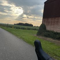
A cycling route starting in Troisdorf, North Rhine-Westphalia, Germany.
Overview
created this 5 months ago


Route quality
Track
9.6 km
60 %
Road
2.4 km
15 %
Paved
15.5 km
(97 %)
Asphalt
15.2 km
95 %
Concrete
0.3 km
2 %
Undefined
0.5 km
3 %
Continue with Bikemap
You would like to ride Gertrud-Bäumer-Straße, Troisdorf nach Gertrud-Bäumer-Straße, Troisdorf or customize it for your own trip? Here is what you can do with this Bikemap route:
Free trial for 3 days, or one-time payment. More about Bikemap Premium.
Discover more Premium features.
Get Bikemap PremiumFrom our community
Open it in the app