
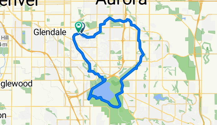
Cherry Creek Reservoir Loop
A cycling route starting in Glendale, Colorado, United States.
Overview
About this route
- 2 h 13 min
- Duration
- 40 km
- Distance
- 188 m
- Ascent
- 189 m
- Descent
- 18 km/h
- Avg. speed
- 1,746 m
- Max. altitude
Route quality
Waytypes & surfaces along the route
Waytypes
Cycleway
38.8 km
(97 %)
Road
1.2 km
(3 %)
Surfaces
Paved
40.4 km
(101 %)
Concrete
24 km
(60 %)
Asphalt
9.2 km
(23 %)
Continue with Bikemap
Use, edit, or download this cycling route
You would like to ride Cherry Creek Reservoir Loop or customize it for your own trip? Here is what you can do with this Bikemap route:
Free features
- Save this route as favorite or in collections
- Copy & plan your own version of this route
- Sync your route with Garmin or Wahoo
Premium features
Free trial for 3 days, or one-time payment. More about Bikemap Premium.
- Navigate this route on iOS & Android
- Export a GPX / KML file of this route
- Create your custom printout (try it for free)
- Download this route for offline navigation
Discover more Premium features.
Get Bikemap PremiumFrom our community
Other popular routes starting in Glendale
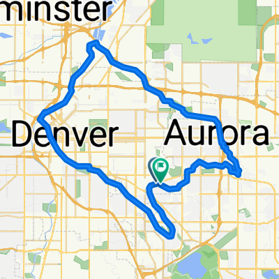
 Westerly Creek Loop 15
- Distance
- 26.1 km
- Ascent
- 88 m
- Descent
- 90 m
- Location
- Glendale, Colorado, United States
 Denver REI
- Distance
- 17 km
- Ascent
- 87 m
- Descent
- 89 m
- Location
- Glendale, Colorado, United States
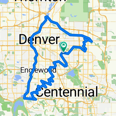
 Highline Canal-Tollgate Creek-Cherry Creek Drainage-Cherry Creek Trails
- Distance
- 33.2 km
- Ascent
- 99 m
- Descent
- 99 m
- Location
- Glendale, Colorado, United States
 RMCC Social Ride West Loop
- Distance
- 42.5 km
- Ascent
- 210 m
- Descent
- 212 m
- Location
- Glendale, Colorado, United States
 Denver 60K Trail Loop
- Distance
- 62 km
- Ascent
- 223 m
- Descent
- 225 m
- Location
- Glendale, Colorado, United States
 High Line-Platte Loop
- Distance
- 128.2 km
- Ascent
- 450 m
- Descent
- 452 m
- Location
- Glendale, Colorado, United States
 Home to South Platte Interchange
- Distance
- 14.2 km
- Ascent
- 27 m
- Descent
- 97 m
- Location
- Glendale, Colorado, United States
 Golden 40
- Distance
- 62.9 km
- Ascent
- 337 m
- Descent
- 339 m
- Location
- Glendale, Colorado, United States
Open it in the app