
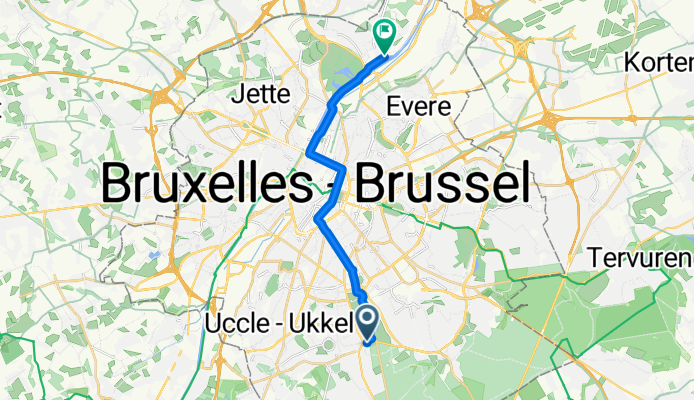
Avenue Montana, Uccle à Chaussée de Vilvorde, Bruxelles
A cycling route starting in Linkebeek, Flemish Region, Belgium.
Overview
About this route
- 52 min
- Duration
- 13.7 km
- Distance
- 44 m
- Ascent
- 124 m
- Descent
- 15.7 km/h
- Avg. speed
- 108 m
- Max. altitude

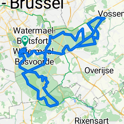
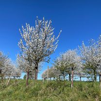
Route photos

Route quality
Waytypes & surfaces along the route
Waytypes
Cycleway
4.4 km
(32 %)
Pedestrian area
3 km
(22 %)
Surfaces
Paved
11.3 km
(83 %)
Asphalt
11.2 km
(82 %)
Concrete
0.1 km
(1 %)
Undefined
2.3 km
(17 %)
Continue with Bikemap
Use, edit, or download this cycling route
You would like to ride Avenue Montana, Uccle à Chaussée de Vilvorde, Bruxelles or customize it for your own trip? Here is what you can do with this Bikemap route:
Free features
- Save this route as favorite or in collections
- Copy & plan your own version of this route
- Sync your route with Garmin or Wahoo
Premium features
Free trial for 3 days, or one-time payment. More about Bikemap Premium.
- Navigate this route on iOS & Android
- Export a GPX / KML file of this route
- Create your custom printout (try it for free)
- Download this route for offline navigation
Discover more Premium features.
Get Bikemap PremiumFrom our community
Other popular routes starting in Linkebeek
 tripje
- Distance
- 19.5 km
- Ascent
- 161 m
- Descent
- 105 m
- Location
- Linkebeek, Flemish Region, Belgium
 Chaussée de Waterloo, Uccle à Chaussée de Vilvorde, Bruxelles
- Distance
- 13.6 km
- Ascent
- 54 m
- Descent
- 134 m
- Location
- Linkebeek, Flemish Region, Belgium
 Chaussée de Waterloo, Uccle à Chaussée de Vilvorde, Bruxelles
- Distance
- 13.7 km
- Ascent
- 45 m
- Descent
- 128 m
- Location
- Linkebeek, Flemish Region, Belgium
 Avenue Montana, Uccle à Chaussée de Vilvorde, Bruxelles
- Distance
- 13.7 km
- Ascent
- 44 m
- Descent
- 124 m
- Location
- Linkebeek, Flemish Region, Belgium
 Sunday morning Sonian Forest exploration with Philip
- Distance
- 66.9 km
- Ascent
- 308 m
- Descent
- 370 m
- Location
- Linkebeek, Flemish Region, Belgium
 25 October pavé route1
- Distance
- 99.8 km
- Ascent
- 643 m
- Descent
- 642 m
- Location
- Linkebeek, Flemish Region, Belgium
 Chaussée de Boitsfort 140, Watermael-Boitsfort to Heide 18, Sint-Truiden
- Distance
- 80.5 km
- Ascent
- 600 m
- Descent
- 626 m
- Location
- Linkebeek, Flemish Region, Belgium
 Gravel ride in the forest
- Distance
- 31.4 km
- Ascent
- 261 m
- Descent
- 261 m
- Location
- Linkebeek, Flemish Region, Belgium
Open it in the app