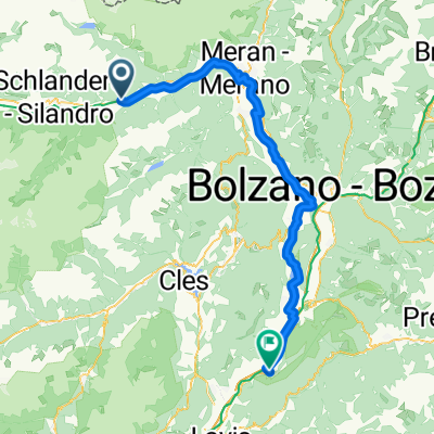

Haus bis Lana
- 29 km
- 60 m
- 355 m
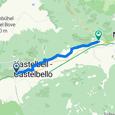
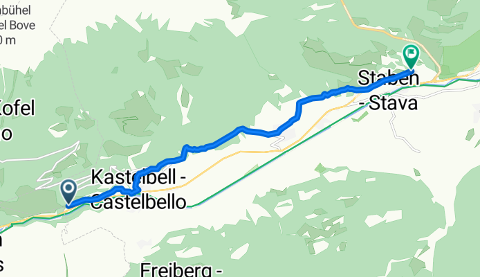
- Castelbello-Ciardes - Kastelbell-Tschars, Trentino-Alto Adige, Italy
A cycling route starting in Castelbello-Ciardes - Kastelbell-Tschars, Trentino-Alto Adige, Italy.
Overview
created this 5 months ago
Continue with Bikemap
You would like to ride via_vinum_venostis_179644104 or customize it for your own trip? Here is what you can do with this Bikemap route:
Free trial for 3 days, or one-time payment. More about Bikemap Premium.
Discover more Premium features.
Get Bikemap PremiumFrom our community
Open it in the app