- 39.2 km
- 353 m
- 239 m
- Moşna, Sibiu County, Romania
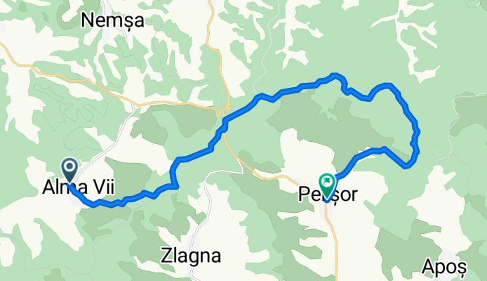
Alma Vii - Pelișor
A cycling route starting in Moşna, Sibiu County, Romania.
Overview
About this route
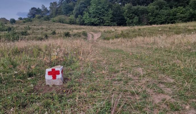
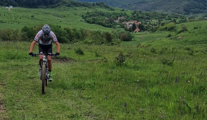
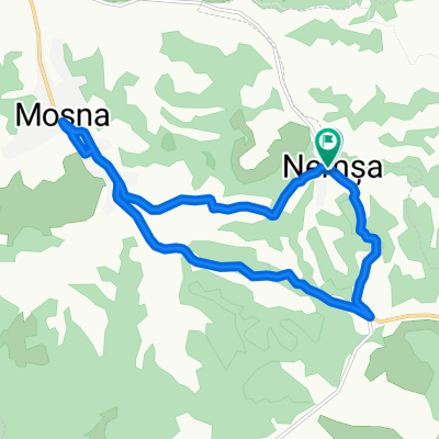
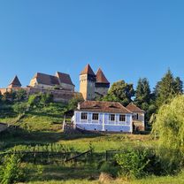
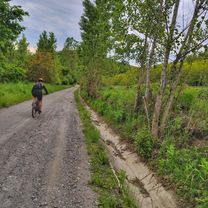
Follow the red cross waymark uphill toward the cemetery and stay on the main road up to the ridge. The climb is on a country/dirt road and is fairly sustained, but it will be rewarded by a viewpoint over the village of Alma. From there we follow the red band waymark; the first part is a cleared/deforested area, followed by about 3 km of wild forest to the junction with DJ141 – Hula Pelișorului. Have you ridden this route? If you identified any access problems (missing, damaged or unclear waymarks, impassable sections, etc.) or have suggestions for improvements, please write to us at colineletransilvaniei@gmail.com. Don’t forget to take a GPS point and a few photos — it will help us respond faster to fix the situation.
- 1 h 13 min
- Duration
- 16.8 km
- Distance
- 362 m
- Ascent
- 335 m
- Descent
- 13.8 km/h
- Avg. speed
- 647 m
- Max. altitude
created this 4 months ago
Route photos
Continue with Bikemap
Use, edit, or download this cycling route
You would like to ride Alma Vii - Pelișor or customize it for your own trip? Here is what you can do with this Bikemap route:
Free features
- Save this route as favorite or in collections
- Copy & plan your own version of this route
- Sync your route with Garmin or Wahoo
Premium features
Free trial for 3 days, or one-time payment. More about Bikemap Premium.
- Navigate this route on iOS & Android
- Export a GPX / KML file of this route
- Create your custom printout (try it for free)
- Download this route for offline navigation
Discover more Premium features.
Get Bikemap PremiumFrom our community
Other popular routes starting in Moşna
- D4 Mosna - Agnita - Stejarisu
- Alma Vii-Moșna-Alma Vii
- 22.5 km
- 288 m
- 285 m
- Moşna, Sibiu County, Romania
- Nemșa - Moșna - Nemșa
- 13 km
- 269 m
- 271 m
- Moşna, Sibiu County, Romania
- Moşna - Micăsasa
- 66.4 km
- 1,233 m
- 1,327 m
- Moşna, Sibiu County, Romania
- Alma Vii - Nemșa - Richiș - Alma Vii
- 20.5 km
- 439 m
- 438 m
- Moşna, Sibiu County, Romania
- Alma Vii - Motiș - Valea Viilor
- 19 km
- 0 m
- 0 m
- Moşna, Sibiu County, Romania
- Moșna_Alma_Vii_Moșna
- 22.5 km
- 281 m
- 286 m
- Moşna, Sibiu County, Romania
- Moșna - Nemșa - Richiș
- 11.7 km
- 264 m
- 197 m
- Moşna, Sibiu County, Romania
Open it in the app

