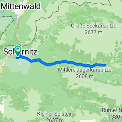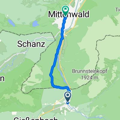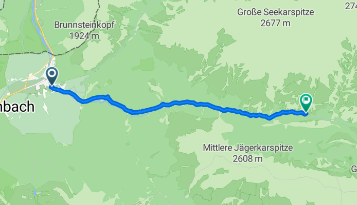

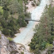
Stetige Fahrt zum Isarursprung
- 12.2 km
- 306 m
- 116 m
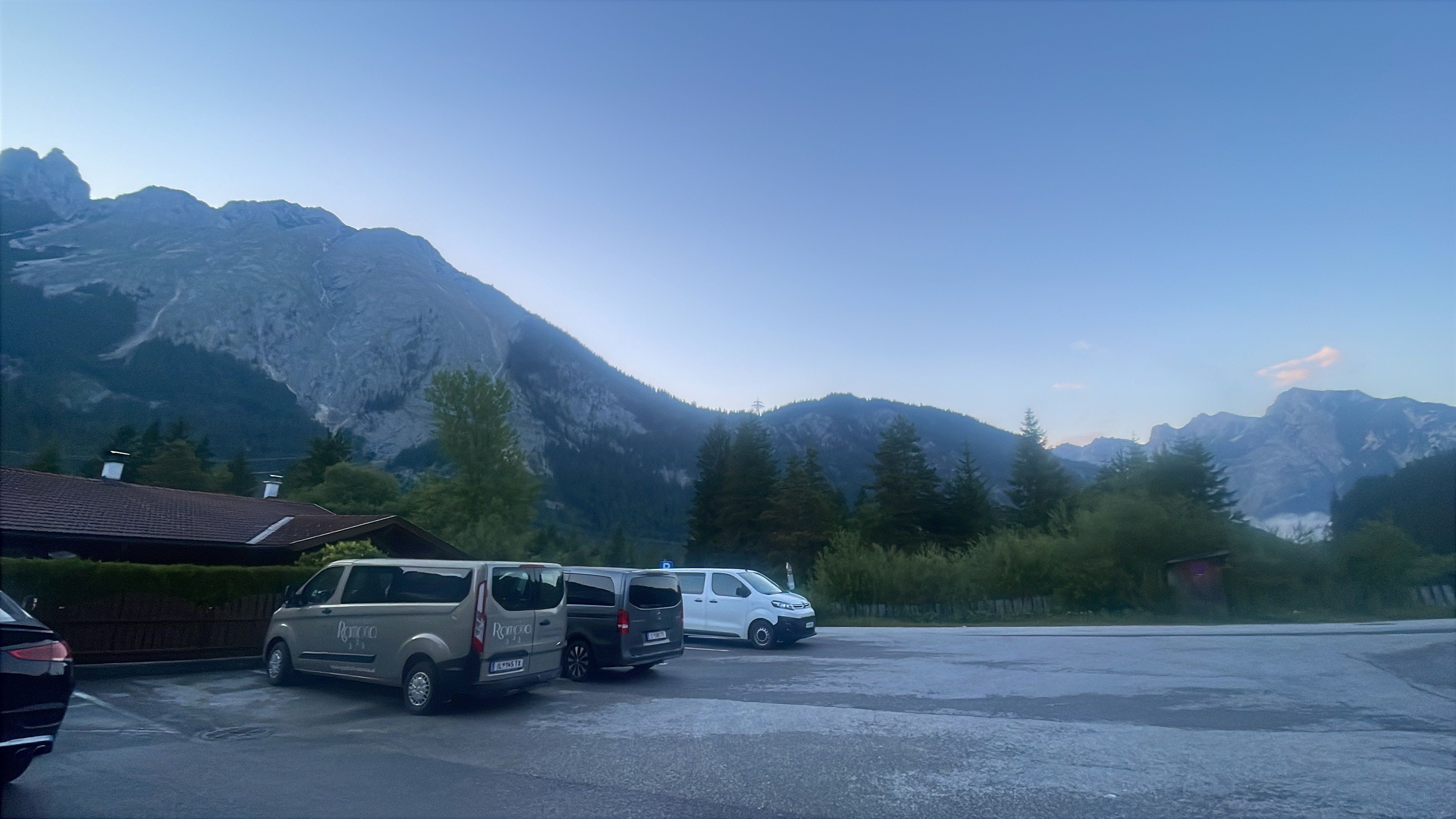
- Scharnitz, Tyrol, Austria
A cycling route starting in Scharnitz, Tyrol, Austria.
Overview
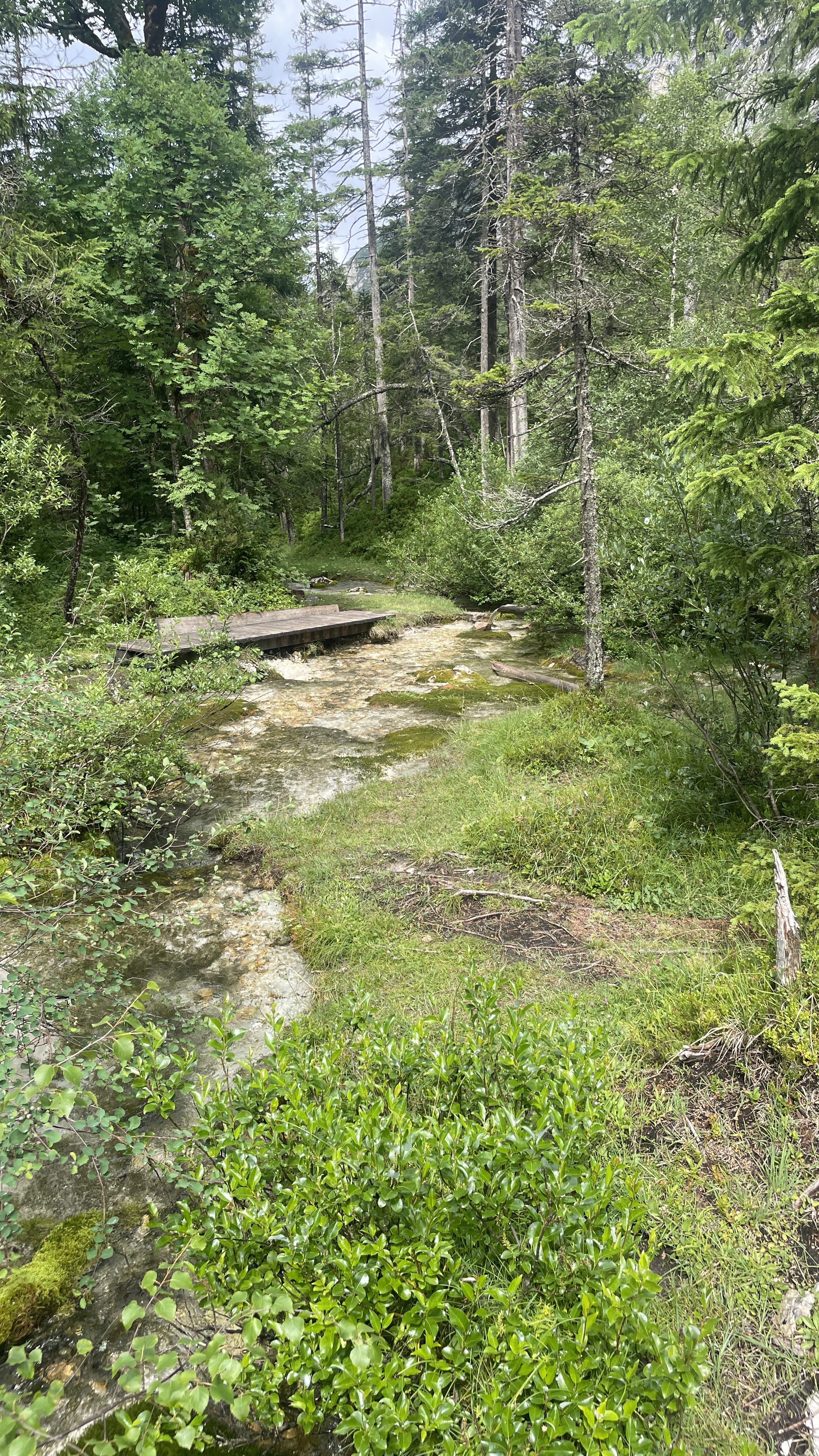
Start Scharnitz Parkplatz Länd. Durch die schöne Bergwelt des Karwendelgebirges zu den Quellen der Isar.
created this 4 months ago


Route quality
Track
9.9 km
(81 %)
Quiet road
2.1 km
(17 %)
Paved
2.2 km
(18 %)
Unpaved
10 km
(82 %)
Gravel
9.9 km
(81 %)
Asphalt
2.2 km
(18 %)
Ground
0.1 km
(1 %)
Continue with Bikemap
You would like to ride Stetige Fahrt zum Isarursprung or customize it for your own trip? Here is what you can do with this Bikemap route:
Free trial for 3 days, or one-time payment. More about Bikemap Premium.
Discover more Premium features.
Get Bikemap PremiumFrom our community
Open it in the app