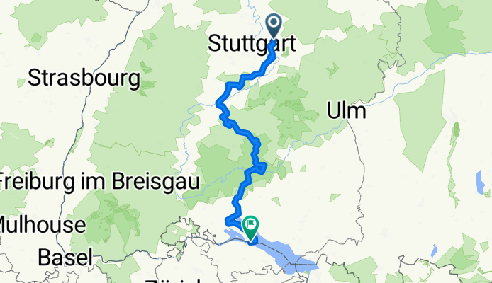
Hohenzollern Radweg - Gesamtroute

A cycling route starting in 
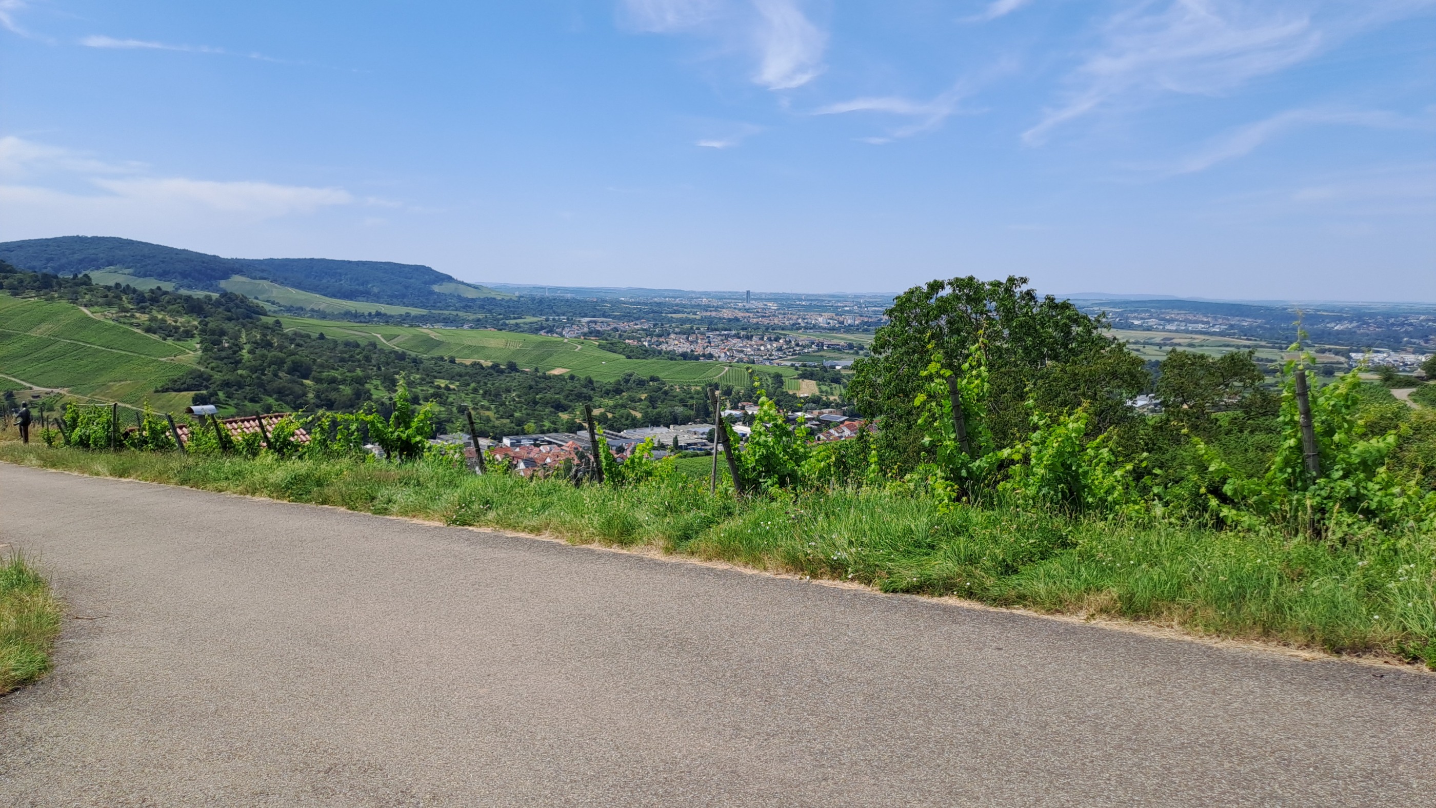
Weinstadt-Endersbach, Baden-Wurttemberg, Germany.
OverviewAbout this route
19 h 12 min
Duration
276.3 km
Distance
4,606 m
Ascent
4,445 m
Descent
14.4 km/h
Avg. speed
761 m
Max. altitude
Frank Simanowskicreated this 7 months ago
Route qualityWaytypes & surfaces along the route
Waytypes
  • Track

    99.5 km36 %
  • Quiet road

    82.9 km30 %
  • Path

    44.2 km16 %
Surfaces

Paved

198.9 km(72 %)

Unpaved

60.8 km(22 %)
  • Asphalt

    182.4 km66 %
  • Gravel

    30.4 km11 %
  • Loose gravel

    27.6 km10 %
Continue with BikemapUse, edit, or download this cycling route
You would like to ride Hohenzollern Radweg - Gesamtroute or customize it for your own trip? Here is what you can do with this Bikemap route:
Free features
Premium features

Free trial for 3 days, or one-time payment. More about Bikemap Premium.

  • Navigate this route on iOS & Android
  • Export a GPX / KML file of this route
  • Create your custom printout (try it for free)
  • Download this route for offline navigation

Discover more Premium features.

Get Bikemap Premium
From our communityOther popular routes starting in Weinstadt-Endersbach

Open it in the app