Jura2
- 256.7 km
- 1,826 m
- 2,325 m
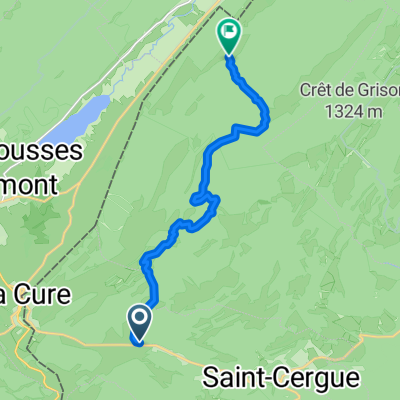
- Saint-Cergue, Canton of Vaud, Switzerland
A cycling route starting in Saint-Cergue, Canton of Vaud, Switzerland.
Overview
created this 13 years ago
Route quality
Road
66.4 km
31 %
Quiet road
6.4 km
3 %
Paved
132.9 km
(62 %)
Asphalt
132.9 km
62 %
Undefined
81.4 km
38 %
Route highlights
Les Rousses Côte des Rousses 2ème cat
Col de la Savine 3ème cat
Côte de Pria 3ème cat
La Montagne 3ème cat
Côte du Grand Lomont 4ème cat
Col de Ferrière 3ème cat
Continue with Bikemap
You would like to ride France Ultime : Belfort - Les Rousses or customize it for your own trip? Here is what you can do with this Bikemap route:
Free trial for 3 days, or one-time payment. More about Bikemap Premium.
Discover more Premium features.
Get Bikemap PremiumFrom our community
Open it in the app