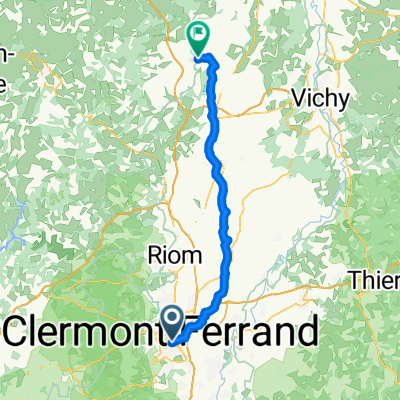


fdb st hippo
- 28.7 km
- 210 m
- 108 m
- Aubière, Auvergne-Rhône-Alpes, France
A cycling route starting in Aubière, Auvergne-Rhône-Alpes, France.
Overview
created this 13 years ago
Route highlights
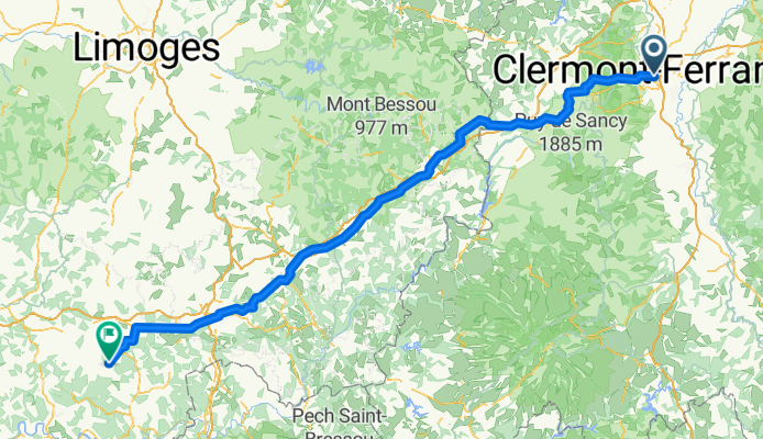
Col de Ceyssat 2ème cat
Continue with Bikemap
You would like to ride France Ultime : Clermont-Ferrand - Montignac or customize it for your own trip? Here is what you can do with this Bikemap route:
Free trial for 3 days, or one-time payment. More about Bikemap Premium.
Discover more Premium features.
Get Bikemap PremiumFrom our community
Open it in the app