
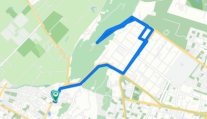
Club de la montaña
A cycling route starting in Cota, Cundinamarca, Colombia.
Overview
About this route
Cycling
- 3 h 10 min
- Duration
- 32.2 km
- Distance
- 1,142 m
- Ascent
- 1,141 m
- Descent
- 10.2 km/h
- Avg. speed
- 2,665 m
- Max. altitude

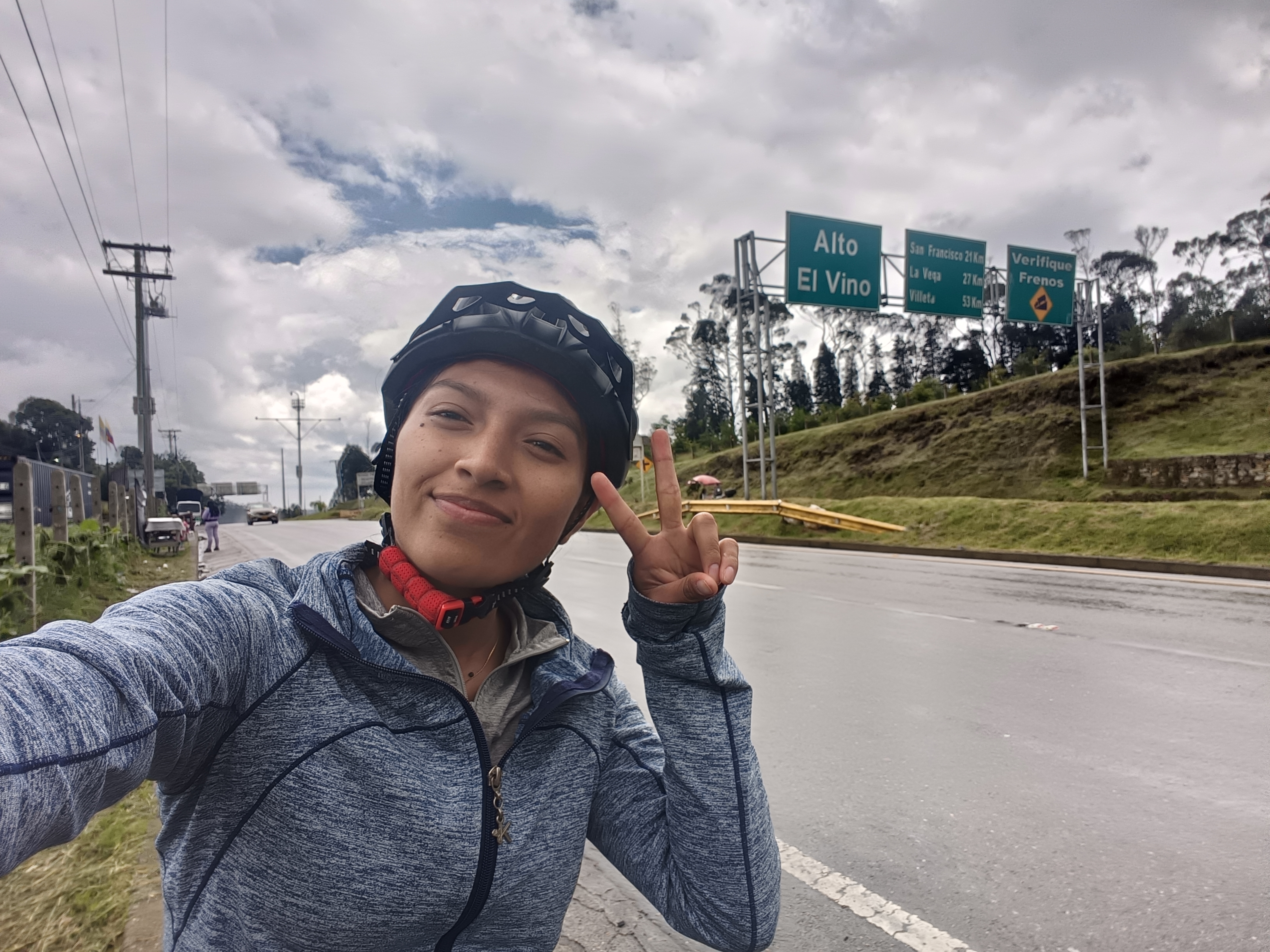
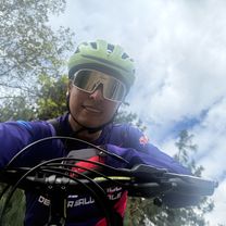
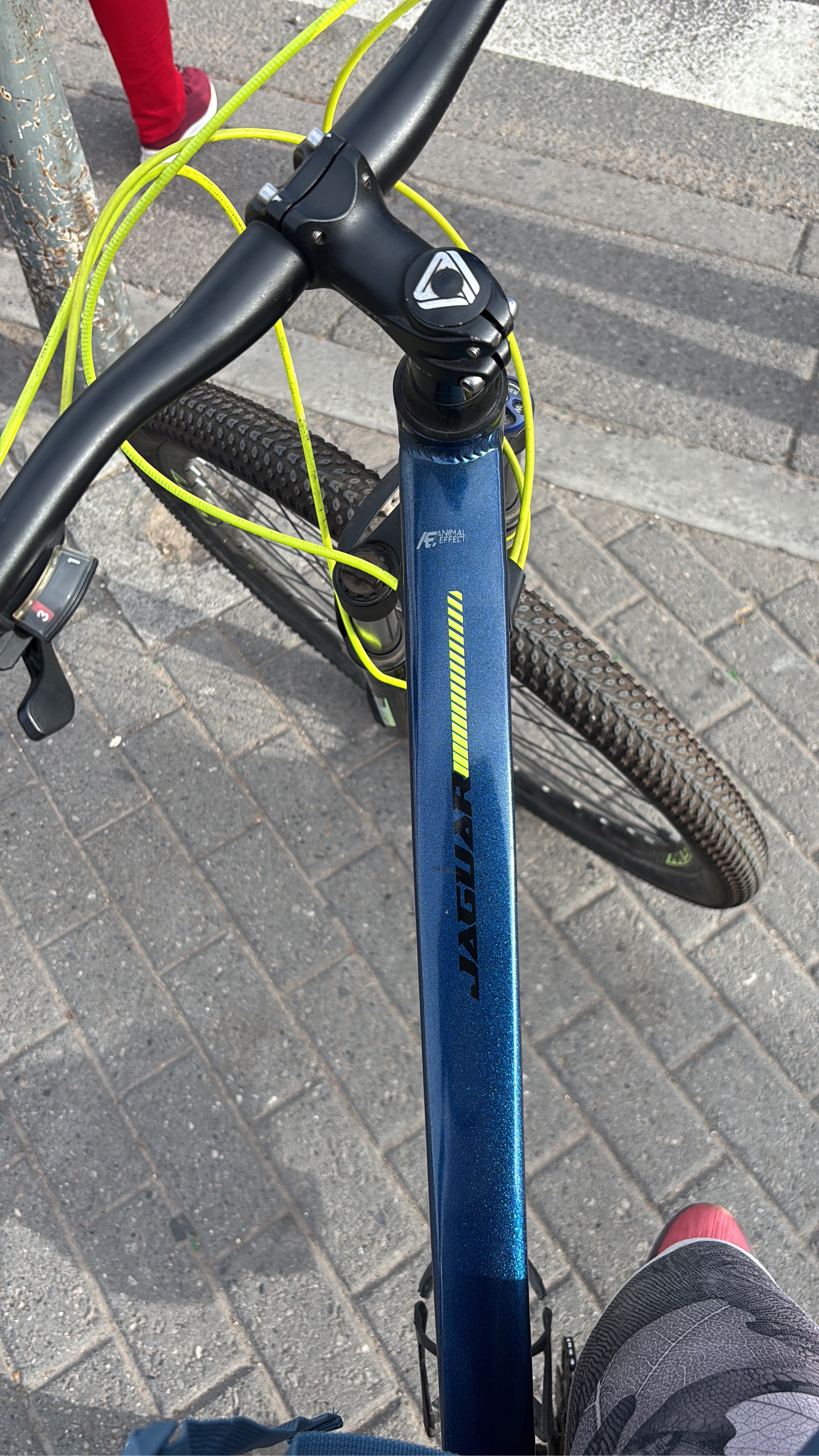
Route photos

Route quality
Waytypes & surfaces along the route
Waytypes
Quiet road
25.8 km
(80 %)
Cycleway
5.2 km
(16 %)
Surfaces
Paved
27.7 km
(86 %)
Unpaved
0.6 km
(2 %)
Asphalt
27.1 km
(84 %)
Concrete
0.6 km
(2 %)
Continue with Bikemap
Use, edit, or download this cycling route
You would like to ride Club de la montaña or customize it for your own trip? Here is what you can do with this Bikemap route:
Free features
- Save this route as favorite or in collections
- Copy & plan your own version of this route
- Sync your route with Garmin or Wahoo
Premium features
Free trial for 3 days, or one-time payment. More about Bikemap Premium.
- Navigate this route on iOS & Android
- Export a GPX / KML file of this route
- Create your custom printout (try it for free)
- Download this route for offline navigation
Discover more Premium features.
Get Bikemap PremiumFrom our community
Other popular routes starting in Cota
 De Calle 127f # 93F-31 a Calle 127f # 93F-12
- Distance
- 64 km
- Ascent
- 607 m
- Descent
- 623 m
- Location
- Cota, Cundinamarca, Colombia
 Bogotá-La Vega
- Distance
- 60.1 km
- Ascent
- 326 m
- Descent
- 1,771 m
- Location
- Cota, Cundinamarca, Colombia
 Club de la montaña
- Distance
- 32.2 km
- Ascent
- 1,142 m
- Descent
- 1,141 m
- Location
- Cota, Cundinamarca, Colombia
 Bogotá - zipaquira
- Distance
- 95.6 km
- Ascent
- 682 m
- Descent
- 681 m
- Location
- Cota, Cundinamarca, Colombia
 De Carrera 16 6, Bogotá a Carrera 16 6, Bogotá
- Distance
- 12.8 km
- Ascent
- 45 m
- Descent
- 48 m
- Location
- Cota, Cundinamarca, Colombia
 Avenida Carrera 104, Bogotá a Pinos de Lombardia, Bogotá
- Distance
- 6.9 km
- Ascent
- 25 m
- Descent
- 29 m
- Location
- Cota, Cundinamarca, Colombia
 San José a Arrayanes
- Distance
- 9.1 km
- Ascent
- 3 m
- Descent
- 20 m
- Location
- Cota, Cundinamarca, Colombia
 De Bogotá a Carrera 94m 91-15, Bogotá
- Distance
- 56.6 km
- Ascent
- 417 m
- Descent
- 410 m
- Location
- Cota, Cundinamarca, Colombia
Open it in the app