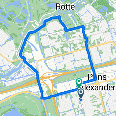
2012 IJ-IJ dag 0
A cycling route starting in 's-Gravenland, South Holland, The Netherlands.
Overview
About this route
Ronde om het IJsselmeer.
Van huis naar Heerhugowaard.
Via Moerkapelle Hazerswoude-dorp Koudekerk Hoogmade Oude-Wetering Hoofddorp Spaarndam Uitgeest
- -:--
- Duration
- 126.4 km
- Distance
- 14 m
- Ascent
- 13 m
- Descent
- ---
- Avg. speed
- ---
- Max. altitude
Route quality
Waytypes & surfaces along the route
Waytypes
Cycleway
64 km
(51 %)
Quiet road
36.2 km
(29 %)
Surfaces
Paved
81.1 km
(64 %)
Unpaved
1.4 km
(1 %)
Asphalt
73.1 km
(58 %)
Paving stones
7.7 km
(6 %)
Continue with Bikemap
Use, edit, or download this cycling route
You would like to ride 2012 IJ-IJ dag 0 or customize it for your own trip? Here is what you can do with this Bikemap route:
Free features
- Save this route as favorite or in collections
- Copy & plan your own version of this route
- Split it into stages to create a multi-day tour
- Sync your route with Garmin or Wahoo
Premium features
Free trial for 3 days, or one-time payment. More about Bikemap Premium.
- Navigate this route on iOS & Android
- Export a GPX / KML file of this route
- Create your custom printout (try it for free)
- Download this route for offline navigation
Discover more Premium features.
Get Bikemap PremiumFrom our community
Other popular routes starting in 's-Gravenland
 Rondje Rdam-Reewijkseplas-Krimpenerwaard
- Distance
- 93 km
- Ascent
- 0 m
- Descent
- 0 m
- Location
- 's-Gravenland, South Holland, The Netherlands
 Capelle a/d IJssel; Rivium > Hitland > Rivium
- Distance
- 21 km
- Ascent
- 13 m
- Descent
- 10 m
- Location
- 's-Gravenland, South Holland, The Netherlands
 EFR 18 Kromme Mijdrecht en Linschoten
- Distance
- 117.7 km
- Ascent
- 21 m
- Descent
- 22 m
- Location
- 's-Gravenland, South Holland, The Netherlands
 route.nl - Van Rotterdam naar Spijkenisse langs de Oude Maas - 137944.gpx
- Distance
- 8.8 km
- Ascent
- 12 m
- Descent
- 12 m
- Location
- 's-Gravenland, South Holland, The Netherlands
 2012 IJ-IJ dag 0
- Distance
- 126.4 km
- Ascent
- 14 m
- Descent
- 13 m
- Location
- 's-Gravenland, South Holland, The Netherlands
 Watertorenweg 101, Rotterdam naar Dresselhuysstraat 10–24, Rotterdam
- Distance
- 7.3 km
- Ascent
- 260 m
- Descent
- 267 m
- Location
- 's-Gravenland, South Holland, The Netherlands
 Rondje Hellvoetsluis ongeveer 100 km
- Distance
- 97.2 km
- Ascent
- 47 m
- Descent
- 47 m
- Location
- 's-Gravenland, South Holland, The Netherlands
 Watertorenweg 101, Rotterdam naar Halhof 20, Rotterdam
- Distance
- 3.3 km
- Ascent
- 169 m
- Descent
- 174 m
- Location
- 's-Gravenland, South Holland, The Netherlands
Open it in the app


