![옥정동Ph0]으로 라우팅](https://media.bikemap.net/routes/17537179/staticmaps/in_eb505fc8-c276-41e4-82ae-70e034e766c9_694x400_bikemap-2021-3D-static.png)
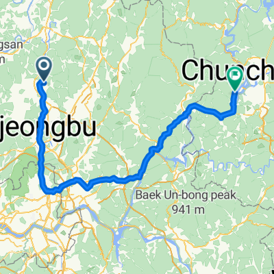
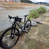
동두천에서 춘천으로
- 119.1 km
- 1,302 m
- 1,301 m
- Yangju, Gyeonggi-do, South Korea
A cycling route starting in Yangju, Gyeonggi-do, South Korea.
Overview
created this 3 months ago
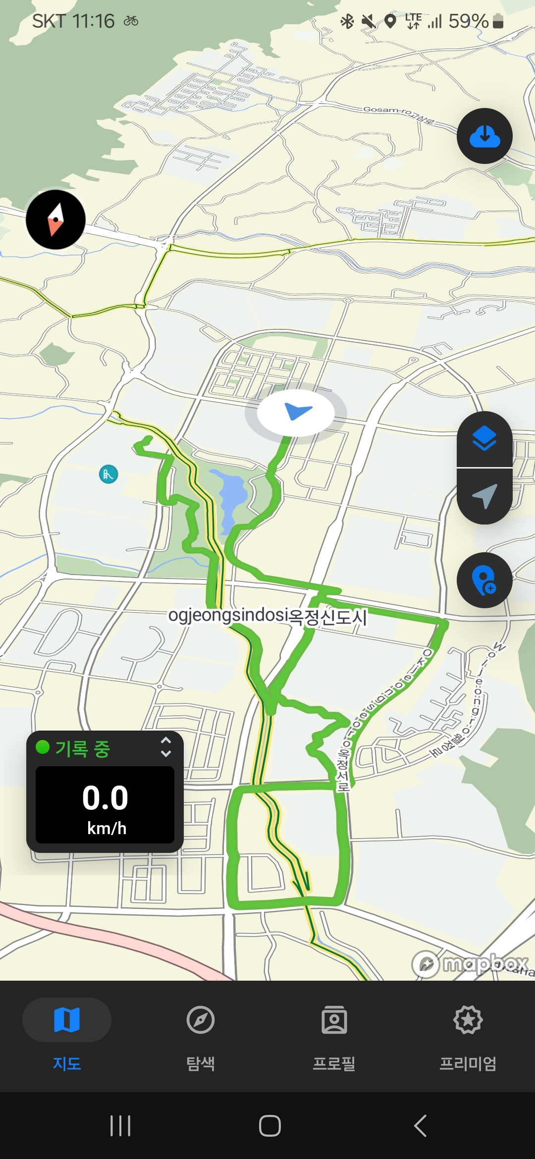
![Photo 1 of the Bikemap route "옥정동Ph0]으로 라우팅"](https://media.bikemap.net/routes/17537179/gallery/thumbs/49fa1ee7-50cd-4a71-8c6e-9d0852776136.jpg.688x400_q80_crop.jpg "Photo 1 of the Bikemap route \"옥정동Ph0]으로 라우팅\"")
![Photo 2 of the Bikemap route "옥정동Ph0]으로 라우팅"](https://media.bikemap.net/routes/17537179/gallery/thumbs/97d3f4fd-5135-4367-bf13-875a0ad15e7e.jpg.688x400_q80_crop.jpg "Photo 2 of the Bikemap route \"옥정동Ph0]으로 라우팅\"")
Continue with Bikemap
You would like to ride 옥정동Ph0]으로 라우팅 or customize it for your own trip? Here is what you can do with this Bikemap route:
Free trial for 3 days, or one-time payment. More about Bikemap Premium.
Discover more Premium features.
Get Bikemap PremiumFrom our community
Open it in the app


![백석읍 109-60Ph0]으로 라우팅](https://media.bikemap.net/routes/16714617/staticmaps/in_30d80c05-075c-42ec-9240-76ff2d10e600_400x400_bikemap-2021-3D-static.png)