Itinéraire à Voreppe
A cycling route starting in Voreppe, Auvergne-Rhône-Alpes, France.
Overview
About this route
- 1 h 41 min
- Duration
- 30.1 km
- Distance
- 88 m
- Ascent
- 88 m
- Descent
- 17.9 km/h
- Avg. speed
- 214 m
- Max. altitude
Route quality
Waytypes & surfaces along the route
Waytypes
Quiet road
14.2 km
(47 %)
Cycleway
11.2 km
(37 %)
Surfaces
Paved
22.9 km
(76 %)
Unpaved
1.2 km
(4 %)
Asphalt
22.3 km
(74 %)
Gravel
1.2 km
(4 %)
Continue with Bikemap
Use, edit, or download this cycling route
You would like to ride Itinéraire à Voreppe or customize it for your own trip? Here is what you can do with this Bikemap route:
Free features
- Save this route as favorite or in collections
- Copy & plan your own version of this route
- Sync your route with Garmin or Wahoo
Premium features
Free trial for 3 days, or one-time payment. More about Bikemap Premium.
- Navigate this route on iOS & Android
- Export a GPX / KML file of this route
- Create your custom printout (try it for free)
- Download this route for offline navigation
Discover more Premium features.
Get Bikemap PremiumFrom our community
Other popular routes starting in Voreppe
Itinéraire à Voreppe- Distance
- 30.1 km
- Ascent
- 88 m
- Descent
- 88 m
- Location
- Voreppe, Auvergne-Rhône-Alpes, France
De Avenue André Malraux à Rue Jay- Distance
- 18.4 km
- Ascent
- 53 m
- Descent
- 87 m
- Location
- Voreppe, Auvergne-Rhône-Alpes, France
Voreppe to Villard-de-Lans- Distance
- 41.6 km
- Ascent
- 995 m
- Descent
- 210 m
- Location
- Voreppe, Auvergne-Rhône-Alpes, France
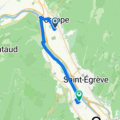
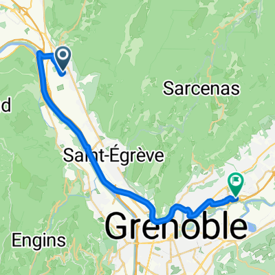
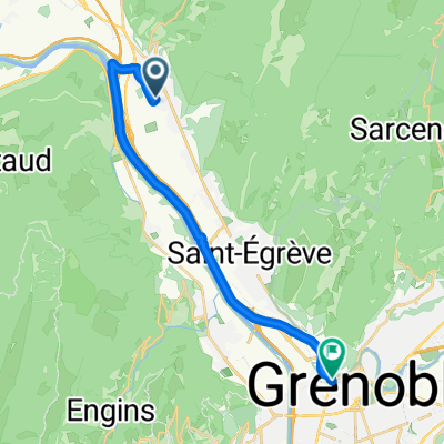
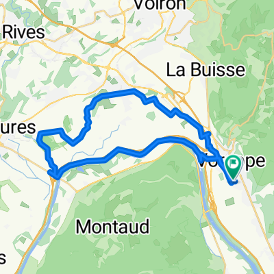
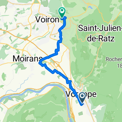
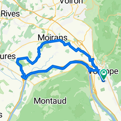
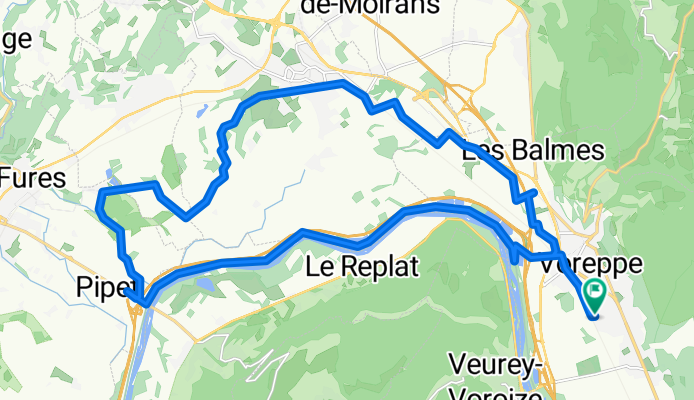
De Impasse Xavier Bichat à Chemin du Vieux Chêne- Distance
- 25.5 km
- Ascent
- 69 m
- Descent
- 95 m
- Location
- Voreppe, Auvergne-Rhône-Alpes, France
De Avenue André Malraux à Impasse Xavier Bichat- Distance
- 30.7 km
- Ascent
- 86 m
- Descent
- 143 m
- Location
- Voreppe, Auvergne-Rhône-Alpes, France
tour des routes perdues- Distance
- 49.1 km
- Ascent
- 650 m
- Descent
- 635 m
- Location
- Voreppe, Auvergne-Rhône-Alpes, France
De Impasse Xavier Bichat à Le Hameau du Pilet- Distance
- 16.4 km
- Ascent
- 239 m
- Descent
- 85 m
- Location
- Voreppe, Auvergne-Rhône-Alpes, France
Placette- Distance
- 31.6 km
- Ascent
- 470 m
- Descent
- 462 m
- Location
- Voreppe, Auvergne-Rhône-Alpes, France
Open it in the app


