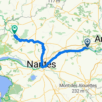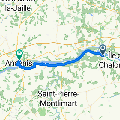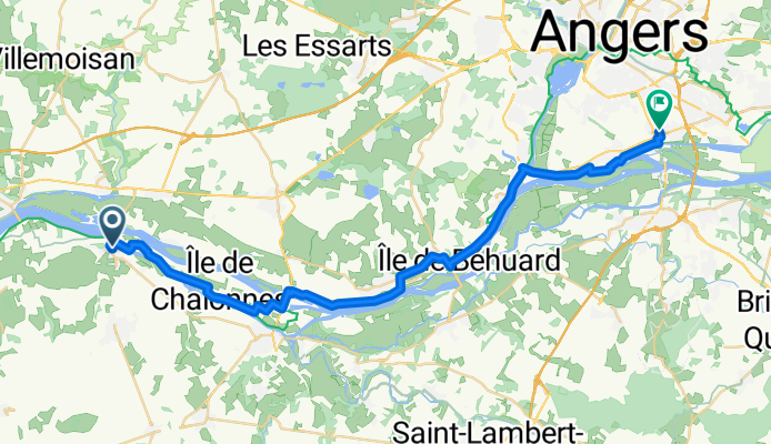

LV24 Montjean to Ancenis.kml - LV24 Montjean to Ancenis.kml_LV24 Montjean to Ancenis
- 28.7 km
- 54 m
- 58 m
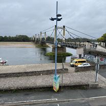
- Montjean-sur-Loire, Pays de la Loire Region, France
A cycling route starting in Montjean-sur-Loire, Pays de la Loire Region, France.
Overview
created this 5 months ago
, Mauges-sur-Loire à Rue Victor Dauphin, Les Ponts-de-Cé\"")
, Mauges-sur-Loire à Rue Victor Dauphin, Les Ponts-de-Cé\"")
Route quality
Quiet road
17.5 km
50 %
Cycleway
6.3 km
18 %
Paved
28 km
(80 %)
Unpaved
5.3 km
(15 %)
Asphalt
25.9 km
74 %
Gravel
3.9 km
11 %
Continue with Bikemap
You would like to ride Place de l'Église (montjean-sur-Loire), Mauges-sur-Loire à Rue Victor Dauphin, Les Ponts-de-Cé or customize it for your own trip? Here is what you can do with this Bikemap route:
Free trial for 3 days, or one-time payment. More about Bikemap Premium.
Discover more Premium features.
Get Bikemap PremiumFrom our community
Open it in the app