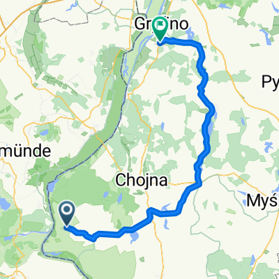
Gryfino Trzcińsko
- 78.7 km
- 194 m
- 193 m
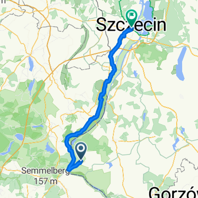
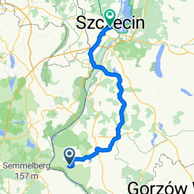
- Cedynia, West Pomeranian Voivodeship, Poland
Von Berlin bis Stettin
A cycling route starting in Cedynia, West Pomeranian Voivodeship, Poland.
Overview
created this 4 months ago
Part of
Von Berlin bis Stettin
2 stages
Route quality
Cycleway
77.3 km
(74 %)
Track
10.4 km
(10 %)
Paved
85.6 km
(82 %)
Unpaved
8.4 km
(8 %)
Asphalt
84.6 km
(81 %)
Gravel
8.4 km
(8 %)
Continue with Bikemap
You would like to ride Cedynia - Stettin or customize it for your own trip? Here is what you can do with this Bikemap route:
Free trial for 3 days, or one-time payment. More about Bikemap Premium.
Discover more Premium features.
Get Bikemap PremiumFrom our community
Open it in the app