
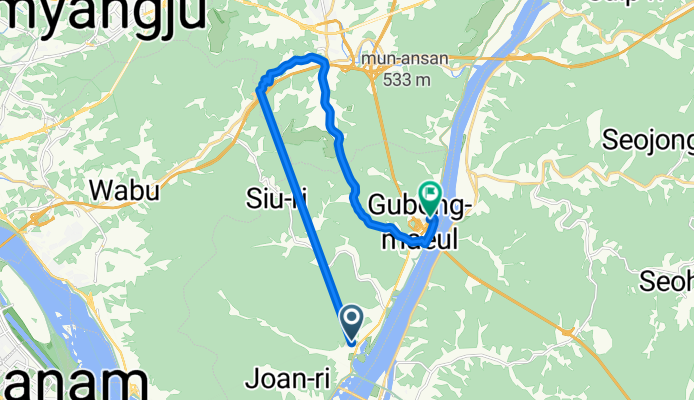
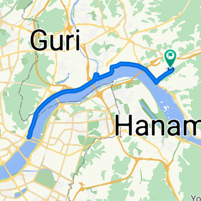
조안면 85-2 ~ 조안면 285-1
A cycling route starting in Wabu, Gyeonggi-do, South Korea.
Overview
About this route
- 1 h 6 min
- Duration
- 18.7 km
- Distance
- 315 m
- Ascent
- 329 m
- Descent
- 17 km/h
- Avg. speed
- 246 m
- Max. altitude

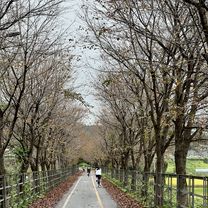
Route photos


Continue with Bikemap
Use, edit, or download this cycling route
You would like to ride 조안면 85-2 ~ 조안면 285-1 or customize it for your own trip? Here is what you can do with this Bikemap route:
Free features
- Save this route as favorite or in collections
- Copy & plan your own version of this route
- Sync your route with Garmin or Wahoo
Premium features
Free trial for 3 days, or one-time payment. More about Bikemap Premium.
- Navigate this route on iOS & Android
- Export a GPX / KML file of this route
- Create your custom printout (try it for free)
- Download this route for offline navigation
Discover more Premium features.
Get Bikemap PremiumFrom our community
Other popular routes starting in Wabu
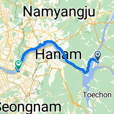
 양평군에서 천서리, 여주시까지
- Distance
- 33.7 km
- Ascent
- 305 m
- Descent
- 293 m
- Location
- Wabu, Gyeonggi-do, South Korea
![창우동 523-3Ph0]으로 라우팅](https://media.bikemap.net/routes/17251387/staticmaps/in_938d6c9b-a2e7-4818-b736-274db2e68444_400x400_bikemap-2021-3D-static.png) 창우동 523-3Ph0]으로 라우팅
창우동 523-3Ph0]으로 라우팅- Distance
- 6.1 km
- Ascent
- 27 m
- Descent
- 56 m
- Location
- Wabu, Gyeonggi-do, South Korea
 망월동930-4 ~ 와부읍 1107-4
- Distance
- 14.1 km
- Ascent
- 64 m
- Descent
- 66 m
- Location
- Wabu, Gyeonggi-do, South Korea
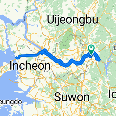
 조안면 348-10번지 ~ 광장동
- Distance
- 29.1 km
- Ascent
- 191 m
- Descent
- 213 m
- Location
- Wabu, Gyeonggi-do, South Korea
 천호대교.
천호대교.- Distance
- 29.7 km
- Ascent
- 232 m
- Descent
- 312 m
- Location
- Wabu, Gyeonggi-do, South Korea
 Route from Yangseo-myeon 255-2
- Distance
- 32.5 km
- Ascent
- 103 m
- Descent
- 138 m
- Location
- Wabu, Gyeonggi-do, South Korea
 편안한 경로
- Distance
- 3.8 km
- Ascent
- 6 m
- Descent
- 28 m
- Location
- Wabu, Gyeonggi-do, South Korea
 서울 한바퀴
- Distance
- 156.5 km
- Ascent
- 1,076 m
- Descent
- 1,074 m
- Location
- Wabu, Gyeonggi-do, South Korea
Open it in the app