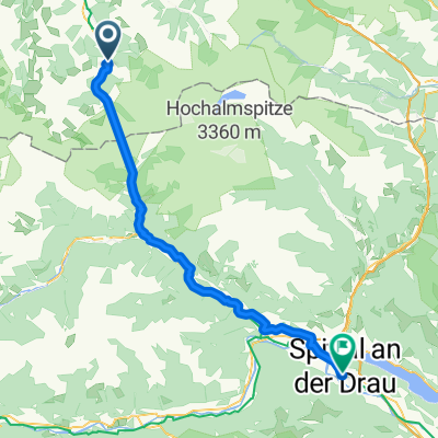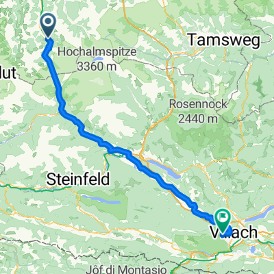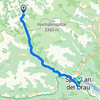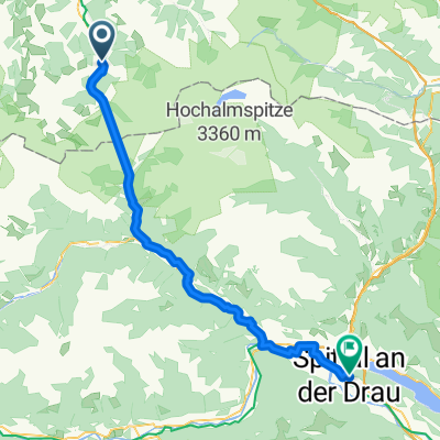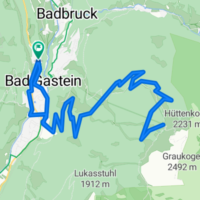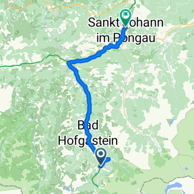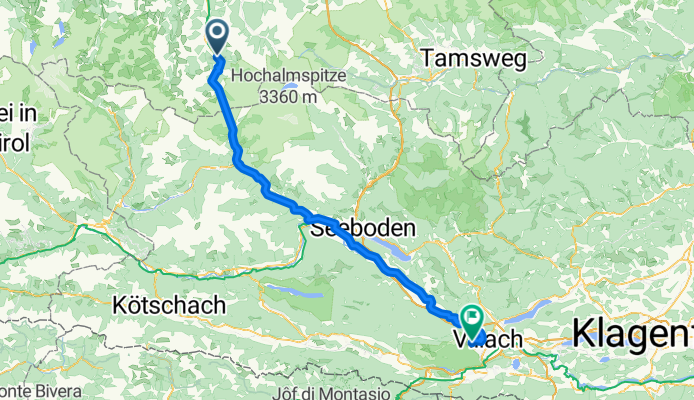

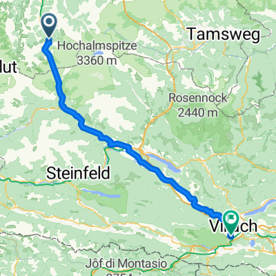
Goldegg im Pongau - Obervellach
- 100.5 km
- 1,061 m
- 1,608 m
- Bad Gastein, Salzburg, Austria
A cycling route starting in Bad Gastein, Salzburg, Austria.
Overview
created this 3 months ago
Route quality
Quiet road
38 km
(37 %)
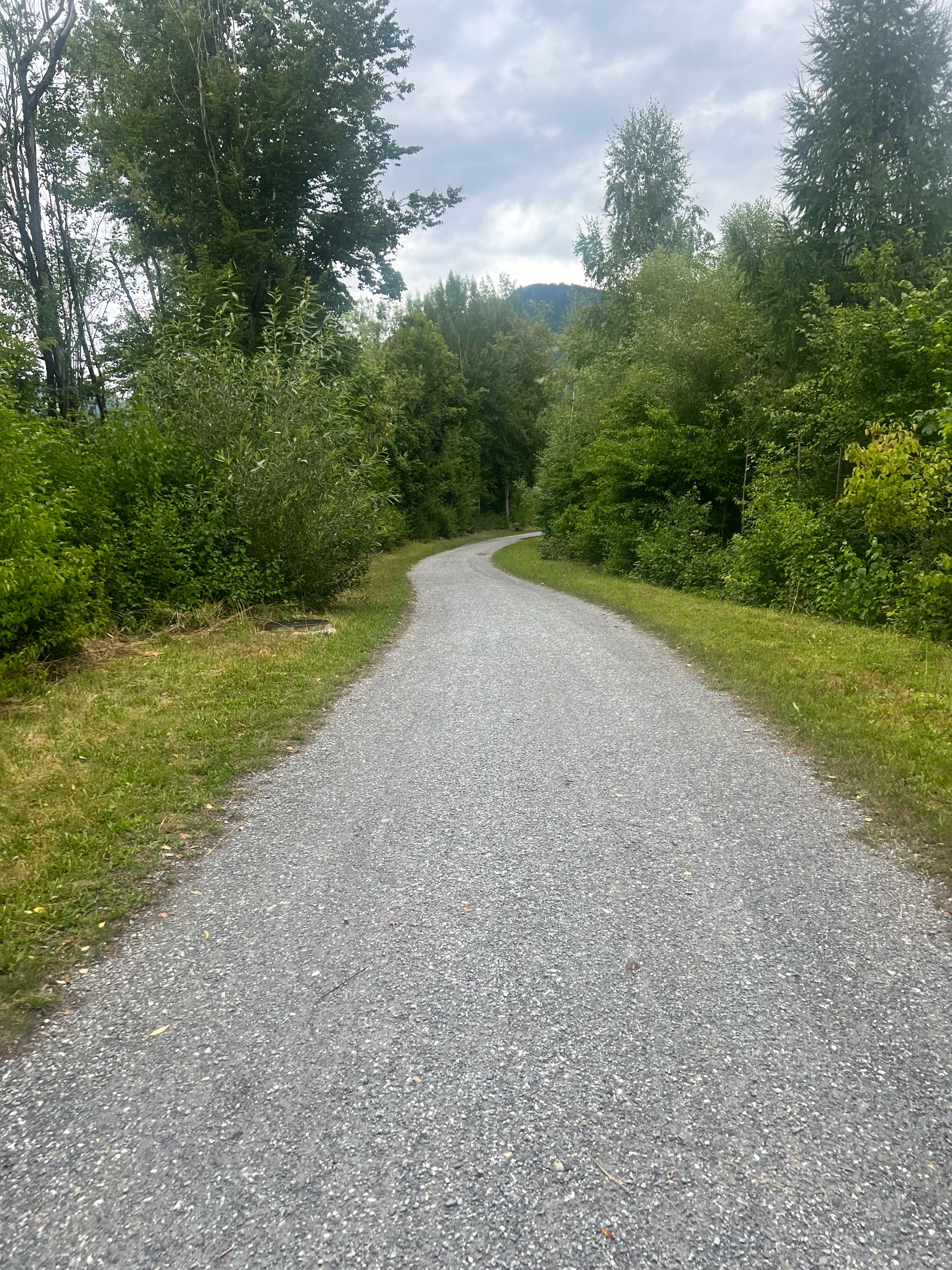
Track
25.7 km
(25 %)
Paved
55.5 km
(54 %)
Unpaved
24.7 km
(24 %)
Asphalt
55.5 km
(54 %)
Gravel
23.6 km
(23 %)
Continue with Bikemap
You would like to ride Erlengrund camp-Gerli camp (Villach) 103 km or customize it for your own trip? Here is what you can do with this Bikemap route:
Free trial for 3 days, or one-time payment. More about Bikemap Premium.
Discover more Premium features.
Get Bikemap PremiumFrom our community
Open it in the app