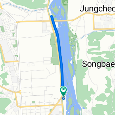
![하대동 305-17Ph0]으로 라우팅](https://media.bikemap.net/routes/17660437/staticmaps/in_81e2c54a-14dc-4c54-b9e3-c64b947edf4a_400x400_bikemap-2021-3D-static.png)
하대동 305-17Ph0]으로 라우팅
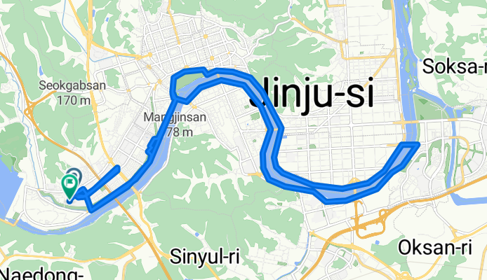
- 5.8 km
- 33 m
- 39 m
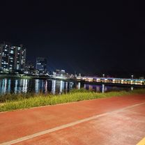
- Jinju, Gyeongsangnam-do, South Korea
A cycling route starting in Jinju, Gyeongsangnam-do, South Korea.
Overview
created this 3 months ago


Continue with Bikemap
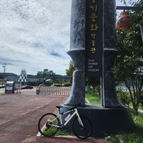
You would like to ride 평거동~김시민대교~촉석루~평거동 or customize it for your own trip? Here is what you can do with this Bikemap route:
Free trial for 3 days, or one-time payment. More about Bikemap Premium.
Discover more Premium features.
Get Bikemap PremiumFrom our community
Open it in the app
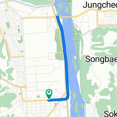
![초전동 1730, 진주시Ph0]으로 라우팅](https://media.bikemap.net/routes/13298599/gallery/thumbs/ad85b9f1-b015-498f-9c3d-4c86fc5cf692.jpg.208x208_q80_crop.jpg)