
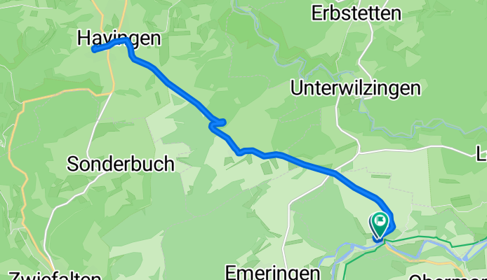
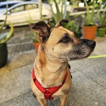
Mit E-Bike und Anhänger und Daisy zur Tierärztin. Chippen und impfen.
A cycling route starting in Rechtenstein, Baden-Wurttemberg, Germany.
Overview
About this route
- 2 h 16 min
- Duration
- 17 km
- Distance
- 274 m
- Ascent
- 328 m
- Descent
- 7.5 km/h
- Avg. speed
- 686 m
- Max. altitude

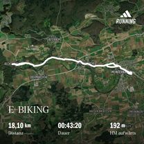
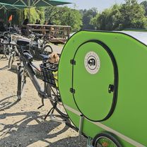
Route photos


Route quality
Waytypes & surfaces along the route
Waytypes
Quiet road
0.9 km
(5 %)
Track
0.9 km
(5 %)
Undefined
15.3 km
(90 %)
Surfaces
Paved
3.1 km
(18 %)
Asphalt
3.1 km
(18 %)
Undefined
14 km
(82 %)
Continue with Bikemap
Use, edit, or download this cycling route
You would like to ride Mit E-Bike und Anhänger und Daisy zur Tierärztin. Chippen und impfen. or customize it for your own trip? Here is what you can do with this Bikemap route:
Free features
- Save this route as favorite or in collections
- Copy & plan your own version of this route
- Sync your route with Garmin or Wahoo
Premium features
Free trial for 3 days, or one-time payment. More about Bikemap Premium.
- Navigate this route on iOS & Android
- Export a GPX / KML file of this route
- Create your custom printout (try it for free)
- Download this route for offline navigation
Discover more Premium features.
Get Bikemap PremiumFrom our community
Other popular routes starting in Rechtenstein
 Kanzach Garagenflohmarkt
- Distance
- 56.2 km
- Ascent
- 508 m
- Descent
- 561 m
- Location
- Rechtenstein, Baden-Wurttemberg, Germany
 Einkaufsfahrt, wie immer.
- Distance
- 18.8 km
- Ascent
- 113 m
- Descent
- 165 m
- Location
- Rechtenstein, Baden-Wurttemberg, Germany
 Unterwilzingen Hütten Kirchen Marchtal
- Distance
- 49.3 km
- Ascent
- 641 m
- Descent
- 656 m
- Location
- Rechtenstein, Baden-Wurttemberg, Germany
 FREEBIRD-Anhänger Ausfahrt mit Maiki
- Distance
- 13.3 km
- Ascent
- 110 m
- Descent
- 182 m
- Location
- Rechtenstein, Baden-Wurttemberg, Germany
 Einkaufen Paketshop
- Distance
- 20.3 km
- Ascent
- 118 m
- Descent
- 174 m
- Location
- Rechtenstein, Baden-Wurttemberg, Germany
 Mit E-Bike und Anhänger und Daisy zur Tierärztin. Chippen und impfen.
- Distance
- 17 km
- Ascent
- 274 m
- Descent
- 328 m
- Location
- Rechtenstein, Baden-Wurttemberg, Germany
 kl. Täler ums Lautertal
- Distance
- 45.6 km
- Ascent
- 365 m
- Descent
- 365 m
- Location
- Rechtenstein, Baden-Wurttemberg, Germany
 Vom Lautertal an die Donau
- Distance
- 27.5 km
- Ascent
- 767 m
- Descent
- 650 m
- Location
- Rechtenstein, Baden-Wurttemberg, Germany
Open it in the app