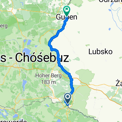
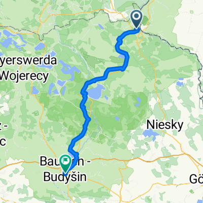
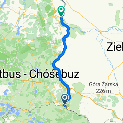
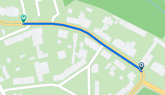
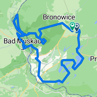
Przew贸z - Brody
A cycling route starting in 艁臋knica, Lubusz Voivodship, Poland.
Overview
About this route
- 1 min
- Duration
- 0.2 km
- Distance
- 7 m
- Ascent
- 0 m
- Descent
- 14.2 km/h
- Avg. speed
- 115 m
- Max. altitude
Continue with Bikemap
Use, edit, or download this cycling route
You would like to ride Przew贸z - Brody or customize it for your own trip? Here is what you can do with this Bikemap route:
Free features
- Save this route as favorite or in collections
- Copy & plan your own version of this route
- Sync your route with Garmin or Wahoo
Premium features
Free trial for 3 days, or one-time payment. More about Bikemap Premium.
- Navigate this route on iOS & Android
- Export a GPX / KML file of this route
- Create your custom printout (try it for free)
- Download this route for offline navigation
Discover more Premium features.
Get Bikemap PremiumFrom our community
Other popular routes starting in 艁臋knica
Park Mu偶akowski rowerem- Distance
- 35.4 km
- Ascent
- 674 m
- Descent
- 687 m
- Location
- 艁臋knica, Lubusz Voivodship, Poland
Park Mu偶akowski - p臋tla 艁臋knica - Bad Muskau- Distance
- 23.3 km
- Ascent
- 158 m
- Descent
- 159 m
- Location
- 艁臋knica, Lubusz Voivodship, Poland
002_Mitteldeutschlandtour2010_Tag02_Bad Muskau-Burg(Spreewald)- Distance
- 66.2 km
- Ascent
- 91 m
- Descent
- 154 m
- Location
- 艁臋knica, Lubusz Voivodship, Poland
Brody - Eisenh眉ttenstadt- Distance
- 64.4 km
- Ascent
- 285 m
- Descent
- 356 m
- Location
- 艁臋knica, Lubusz Voivodship, Poland
Park Mu偶akowski - Forst- Distance
- 37.3 km
- Ascent
- 185 m
- Descent
- 252 m
- Location
- 艁臋knica, Lubusz Voivodship, Poland
D 03 90km Muskau-Eisenh.- Distance
- 90.3 km
- Ascent
- 334 m
- Descent
- 421 m
- Location
- 艁臋knica, Lubusz Voivodship, Poland
10.07.26 Sagar-Guben (13. Etappe)- Distance
- 77.1 km
- Ascent
- 64 m
- Descent
- 138 m
- Location
- 艁臋knica, Lubusz Voivodship, Poland
10.07.26-10.08.03"A nette Tour"- Distance
- 566.8 km
- Ascent
- 212 m
- Descent
- 328 m
- Location
- 艁臋knica, Lubusz Voivodship, Poland
Open it in the app

