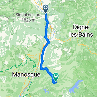


Sorti du 1/09/2021 a Sisteron
- 7.7 km
- 49 m
- 60 m
- Sisteron, Provence-Alpes-Côte d'Azur Region, France
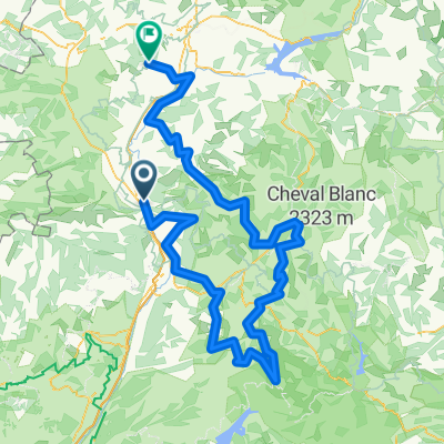
A cycling route starting in Sisteron, Provence-Alpes-Côte d'Azur Region, France.
Overview
created this 13 years ago
Route quality
Road
41.2 km
(21 %)
Cycleway
15.7 km
(8 %)
Paved
178.5 km
(91 %)
Unpaved
2 km
(1 %)
Asphalt
178.5 km
(91 %)
Loose gravel
2 km
(1 %)
Undefined
15.7 km
(8 %)
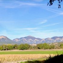
Route highlights
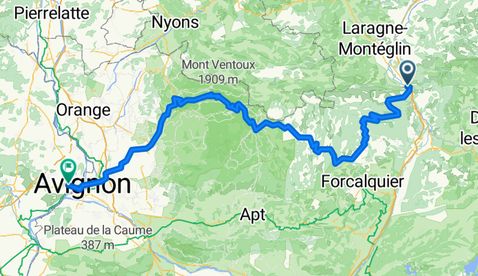
Mont Ventoux HC
Continue with Bikemap
You would like to ride France Ultime : Avignon - Sisteron or customize it for your own trip? Here is what you can do with this Bikemap route:
Free trial for 3 days, or one-time payment. More about Bikemap Premium.
Discover more Premium features.
Get Bikemap PremiumFrom our community
Open it in the app