
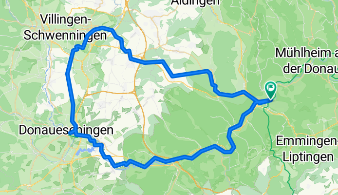

Tuttlingen - Jestetten
- 62.8 km
- 891 m
- 1,113 m
- Tuttlingen, Baden-Wurttemberg, Germany
A cycling route starting in Tuttlingen, Baden-Wurttemberg, Germany.
Overview
created this 8 months ago
Route quality
Track
34.4 km
42 %
Quiet road
16.4 km
20 %
Paved
72.9 km
(89 %)
Unpaved
3.3 km
(4 %)
Asphalt
63.9 km
78 %
Paved (undefined)
9 km
11 %
Continue with Bikemap
You would like to ride Tuttlingen Donau und Neckarquelle or customize it for your own trip? Here is what you can do with this Bikemap route:
Free trial for 3 days, or one-time payment. More about Bikemap Premium.
Discover more Premium features.
Get Bikemap PremiumFrom our community
Open it in the app


