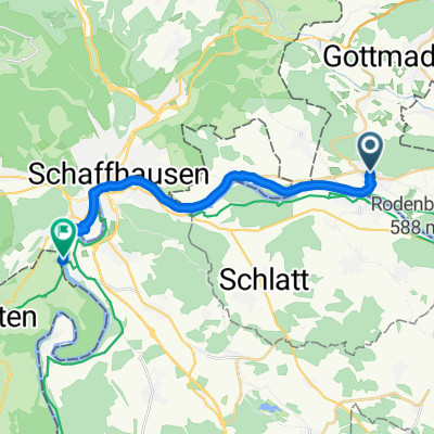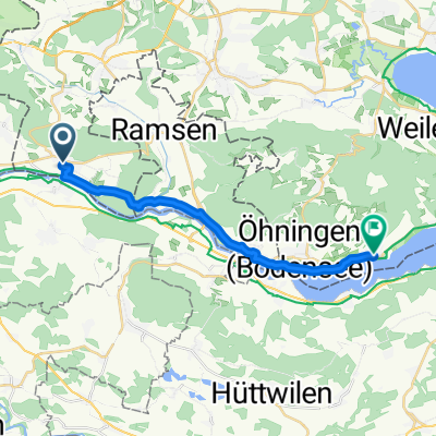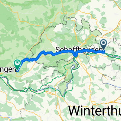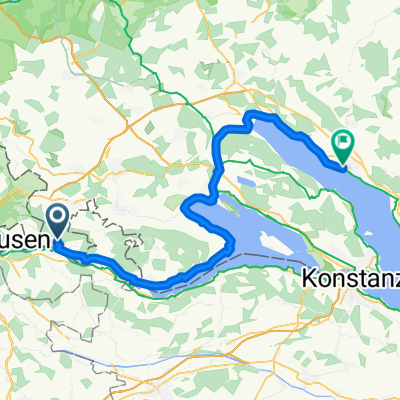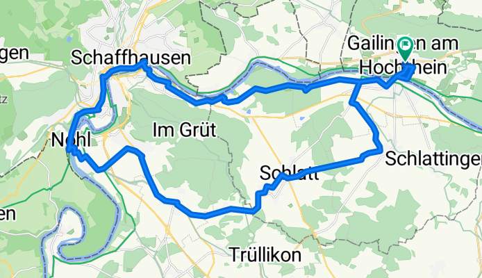

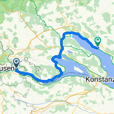
Hauptstraße, Gailingen am Hochrhein nach Überlingen, Überlingen
- 60.3 km
- 455 m
- 489 m
- Gailingen, Baden-Wurttemberg, Germany
A cycling route starting in Gailingen, Baden-Wurttemberg, Germany.
Overview
created this 3 months ago
Route quality
Quiet road
16.2 km
(45 %)
Road
9.4 km
(26 %)
Paved
32.8 km
(91 %)
Unpaved
2.5 km
(7 %)
Asphalt
32.1 km
(89 %)
Pebblestone
2.5 km
(7 %)
Continue with Bikemap
You would like to ride Route in Gailingen am Hochrhein or customize it for your own trip? Here is what you can do with this Bikemap route:
Free trial for 3 days, or one-time payment. More about Bikemap Premium.
Discover more Premium features.
Get Bikemap PremiumFrom our community
Open it in the app