
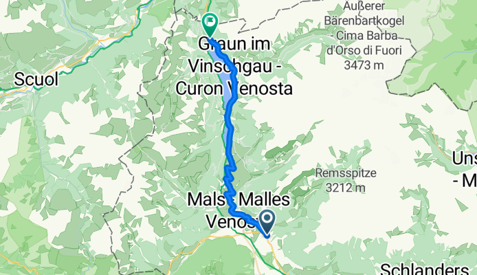

PASSO DI RESIA/ RESCHENPASS (por Sluderno/ Schluderns)
- 25.2 km
- 717 m
- 130 m
- Schluderns, Trentino-Alto Adige, Italy
A cycling route starting in Schluderns, Trentino-Alto Adige, Italy.
Overview
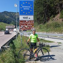
Passo di Resia (Reschenpass, 1504 m) is one of the most trafficked and emblematic cols of South Tyrol, famed for its side that climbs up from the Vinschgau valley. Beyond being a strategic and heavily used alpine pass, it carries a strong historical and cultural dimension, having been a communication route between northern and southern Europe since Roman times. Today it is a wide pass with significant traffic, but also with spots of great natural beauty, such as Lake Resia, with its iconic submerged bell tower.
created this 2 months ago
\"")
Route quality
Access road
0.3 km
(1 %)
Track
0.3 km
(1 %)
Undefined
24.7 km
(98 %)
Paved
20.9 km
(83 %)
Asphalt
20.9 km
(83 %)
Undefined
4.3 km
(17 %)
Continue with Bikemap
You would like to ride PASSO DI RESIA/ RESCHENPASS (por Sluderno/ Schluderns) or customize it for your own trip? Here is what you can do with this Bikemap route:
Free trial for 3 days, or one-time payment. More about Bikemap Premium.
Discover more Premium features.
Get Bikemap PremiumFrom our community
Open it in the app


