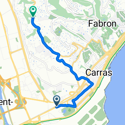

Way to home
- 6 km
- 123 m
- 121 m
- Saint-Laurent-du-Var, Provence-Alpes-Côte d'Azur Region, France
A cycling route starting in Saint-Laurent-du-Var, Provence-Alpes-Côte d'Azur Region, France.
Overview
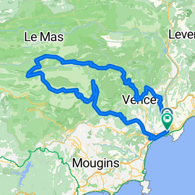
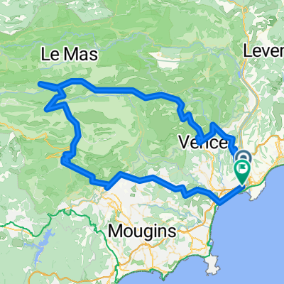
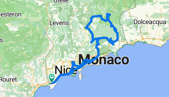
Tour of the cols... from the sea 🌊 to the mountains ⛰️ it's a snap to rack up elevation 🤩😍 Col d'Eze, Col de Braus, Col de la Madone - Tour of the cols... from the sea 🌊 to the mountains ⛰️ it's a snap to rack up elevation 🤩😍 Col d'Eze, Col de Braus, Col de la Madone
created this 7 months ago
Route quality
Road
59.4 km
43 %
Cycleway
13.8 km
10 %
Paved
124.4 km
(90 %)
Asphalt
124.4 km
90 %
Undefined
13.8 km
10 %
Continue with Bikemap
You would like to ride FRANCIA_141_2895 or customize it for your own trip? Here is what you can do with this Bikemap route:
Free trial for 3 days, or one-time payment. More about Bikemap Premium.
Discover more Premium features.
Get Bikemap PremiumFrom our community
Open it in the app