

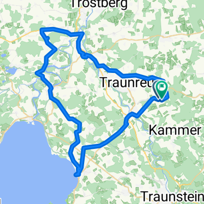
Obinger Runde
A cycling route starting in Traunreut, Bavaria, Germany.
Overview
About this route
Starting point Stein an Traun - heading towards Altenmarkt - left next to the B304. After the Traun bridge, turn left opposite the car dealership and follow the road until you reach a farm on the road to Truchtlaching. Here turn right and shortly after turn left again through the Altenmarkt settlement - Baumburger Leite - past the ice cream shop, cross the B 304 on the right - towards Altenmarkt train station. Follow the path along the train tracks, past the tennis courts, over the railway bridge and before an asphalt road goes up to the right, turn left into the narrow path. Then you go through the woods between Traun and the train tracks to Trostberg. Cross the lock on the left and follow the gravel road to the bridge. Here again turn left into Schwarzauer Street - passing the bike shop (or not) - through the underpass, then take the second street on the right (Sonnenleite). Continue down this road until you reach the bike path. On this sidewalk (to the left of the B304) continue to the Hotel Wolke ?, here turn left uphill towards Frühling. Then always stay on this road - side road with very little to no traffic!.
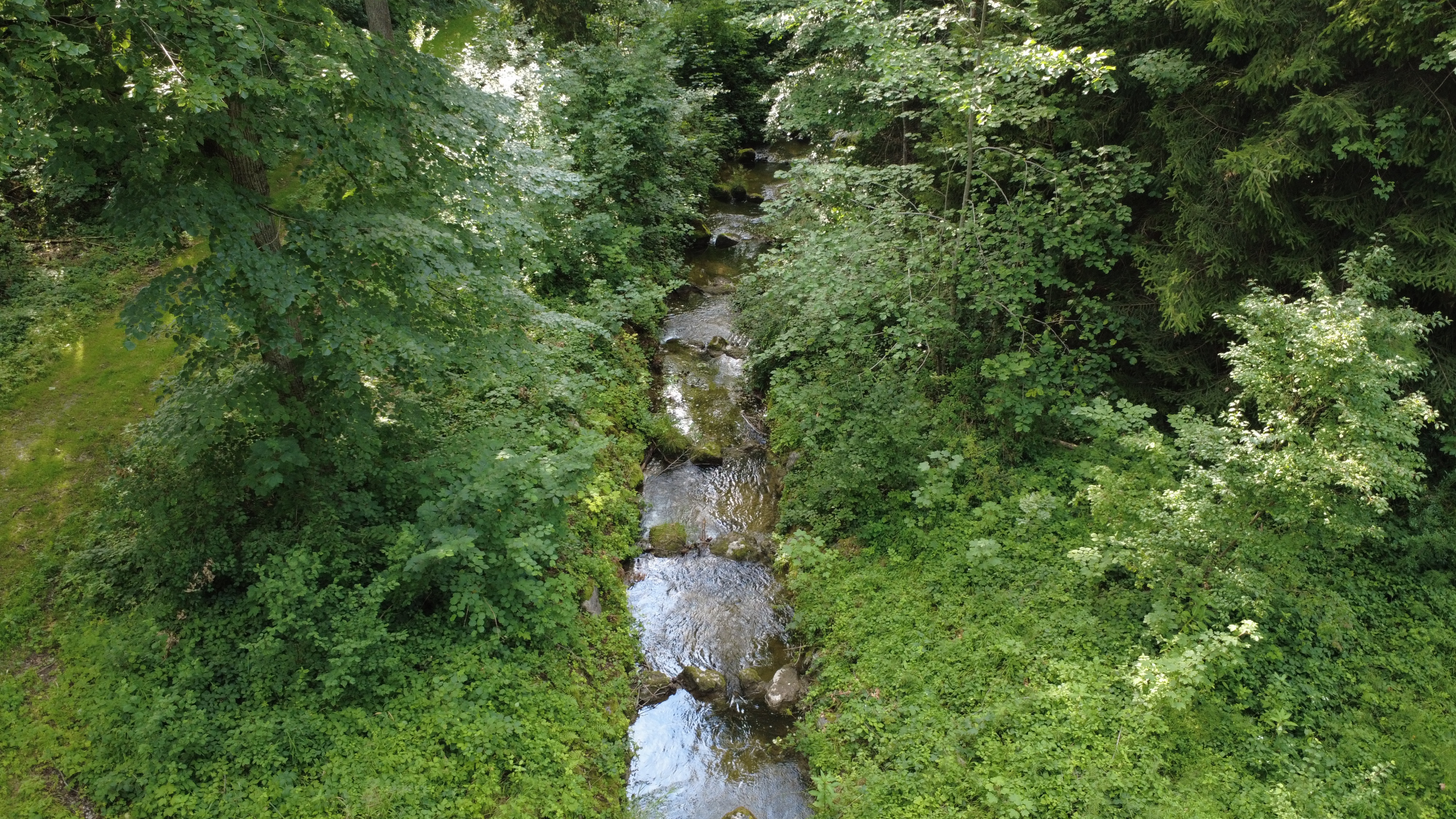
We pass by the villages of Frühling, Irling, Saltler. Shortly after Hasenbichl we cross the TS 13 and come to Hundsöd. Just after Hundsöd, at a "junction" we keep to the right and remain on this path for the time being and reach Sonnau. We come to TS 31, we turn right, and right after the football field we turn left again. Stay on this road - after a small settlement there is a forest path leading left towards Schalkham - after Schalkam turn right towards Pfaffing. From here along the northern shore of Lake Obinger (can also be bypassed down below on the sculpture path - to the B 304. Along this on the bike path back to the entrance of Altenmarkt - turn right into TS 14, passing the "gravel pit" until the next settlement Thalham - turn left, go downhill until just after a left bend where it goes uphill again. Just before that, turn right to Alz, cross the bridge and return to Altenmarkt via Laufenau. From here, either return through the settlement, or along the main road, or via Bahnhofstraße into Steinerstraße.
- -:--
- Duration
- 33.4 km
- Distance
- 165 m
- Ascent
- 165 m
- Descent
- ---
- Avg. speed
- ---
- Max. altitude

Route quality
Waytypes & surfaces along the route
Waytypes
Quiet road
14.3 km
(43 %)
Track
5 km
(15 %)
Surfaces
Paved
24 km
(72 %)
Unpaved
5.7 km
(17 %)
Asphalt
24 km
(72 %)
Gravel
2 km
(6 %)
Continue with Bikemap
Use, edit, or download this cycling route
You would like to ride Obinger Runde or customize it for your own trip? Here is what you can do with this Bikemap route:
Free features
- Save this route as favorite or in collections
- Copy & plan your own version of this route
- Sync your route with Garmin or Wahoo
Premium features
Free trial for 3 days, or one-time payment. More about Bikemap Premium.
- Navigate this route on iOS & Android
- Export a GPX / KML file of this route
- Create your custom printout (try it for free)
- Download this route for offline navigation
Discover more Premium features.
Get Bikemap PremiumFrom our community
Other popular routes starting in Traunreut
 sonntags Route Chieming
- Distance
- 40.5 km
- Ascent
- 317 m
- Descent
- 314 m
- Location
- Traunreut, Bavaria, Germany
 Chiemsee Runde
- Distance
- 48.7 km
- Ascent
- 502 m
- Descent
- 503 m
- Location
- Traunreut, Bavaria, Germany
 Umag Tag 1
- Distance
- 116.1 km
- Ascent
- 954 m
- Descent
- 937 m
- Location
- Traunreut, Bavaria, Germany
 Keilbergweg, Traunreut nach Keilbergweg, Traunreut
- Distance
- 30.1 km
- Ascent
- 247 m
- Descent
- 243 m
- Location
- Traunreut, Bavaria, Germany
 Route in Traunreut
- Distance
- 16.1 km
- Ascent
- 105 m
- Descent
- 106 m
- Location
- Traunreut, Bavaria, Germany
 Gemütliche Runde
- Distance
- 16.2 km
- Ascent
- 146 m
- Descent
- 145 m
- Location
- Traunreut, Bavaria, Germany
 Chiemgauer Seehund
- Distance
- 156.7 km
- Ascent
- 1,882 m
- Descent
- 1,847 m
- Location
- Traunreut, Bavaria, Germany
 Chiemsee Runde.
- Distance
- 74.7 km
- Ascent
- 207 m
- Descent
- 208 m
- Location
- Traunreut, Bavaria, Germany
Open it in the app